Clare Castle Country Park
![]()
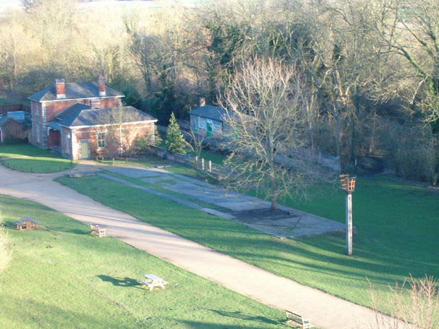
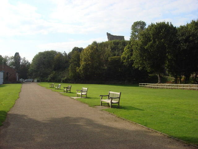
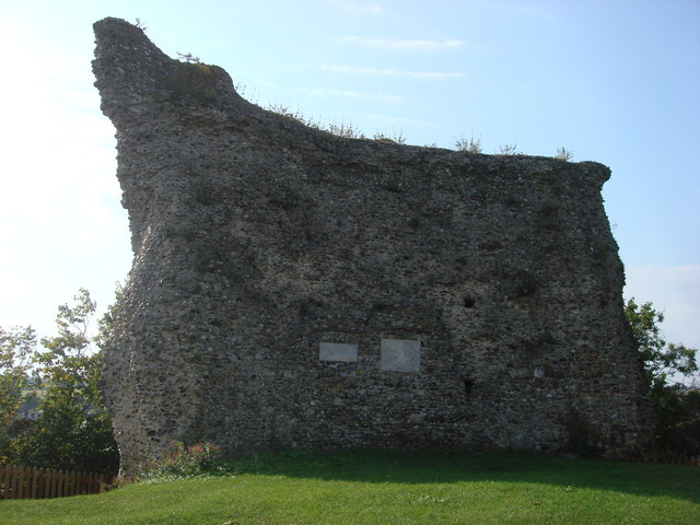
![]() This pretty country park is situated on the River Stour in the Suffolk town of Clare. In the park you will find the remains of the 13th Century stone castle keep and the old Clare railway station. There is a riverside walk where you can see a variety of wildlife and a railway walk with details of the park's history.
This pretty country park is situated on the River Stour in the Suffolk town of Clare. In the park you will find the remains of the 13th Century stone castle keep and the old Clare railway station. There is a riverside walk where you can see a variety of wildlife and a railway walk with details of the park's history.
The Bury to Clare Walk and Stour Valley Path walking routes also run through the park so there is scope for continuing your walk if you have time. The park is located about 10 miles south of Bury St Edmunds, while the lovely Sudbury Water Meadows lie a few miles east.
Postcode
CO10 8NW - Please note: Postcode may be approximate for some rural locationsPlease click here for more information
Clare Castle Country Park Ordnance Survey Map  - view and print off detailed OS map
Clare Castle Country Park Open Street Map  - view and print off detailed map
*New* - Walks and Cycle Routes Near Me Map - Waymarked Routes and Mountain Bike Trails>>
Clare Castle Country Park OS Map  - Mobile GPS OS Map with Location tracking
Clare Castle Country Park Open Street Map  - Mobile GPS Map with Location tracking
Pubs/Cafes
There's a fine on site cafe located in the old station building in the park. They sell a good range of meals and snacks to enjoy after your exercise. You can also pick up leaflets and maps on the area here.
Dog Walking
The park is a nice place to bring your dog for a walk so you'll probably see other owners on your visit.
Further Information and Other Local Ideas
If you were to follow the Stour Valley Path west it would take you towards the town of Haverhill where you can try the Haverhill Railway Walk along a disused railway line.
Just a few miles to the south there's the noteworthy village of Castle Hedingham. Here you'll find the splendid Hedingham Castle with its significant 12th century Norman Keep, pretty lake and beautiful landscaped gardens. Near here there's also Gosfield Hall and Gosfield Lake where there's some nice waterside trails and a good lakeside cafe. The 16th century hall is designated as a Grade I listed building and is now used for weddings.
For more walking ideas in the area see the Suffolk Walks page.


