Bures River Walk
![]()
![]() This pretty village is located in a lovely spot on the River Stour on the Suffolk/Essex county border. There's some lovely river trails and the wonderful Dedham Vale AONB just to the east.
This pretty village is located in a lovely spot on the River Stour on the Suffolk/Essex county border. There's some lovely river trails and the wonderful Dedham Vale AONB just to the east.
This circular walk from the village uses sections of the Stour Valley Path and the St Edmund Way to explore the area to the east of the settlement.
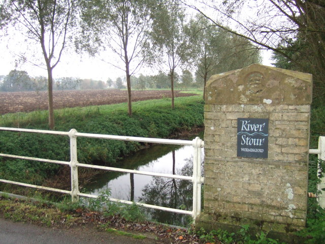
The walk starts in the village centre where you can pick up the Stour Valley Path. Follow the waymarked trail south east and it will take you past Bures Mill and Wormingford Mere to the neighbouring village of Wormingford.
The route continues past Garnons Chase, Bottengoms and Little Horkesley where you turn north to Wiston Mill and Weir. From here it is a short walk into Nayland where you could stop for a rest and refreshment at what is roughly the half way point on the walk.
From Nayland you head west to pick up the St Edmund Way. This long distance footpath will take you west through the countryside back to Bures. This section of the walk passes Wissington Grange and the Arger Fen bird reserve.
Continue your walking in the area on the Bures Dragon Walk which will take you to a splendid viewpoint above the village.
Postcode
CO8 5AT - Please note: Postcode may be approximate for some rural locationsBures River Walk Ordnance Survey Map  - view and print off detailed OS map
Bures River Walk Open Street Map  - view and print off detailed map
*New* - Walks and Cycle Routes Near Me Map - Waymarked Routes and Mountain Bike Trails>>
Bures River Walk OS Map  - Mobile GPS OS Map with Location tracking
Bures River Walk Open Street Map  - Mobile GPS Map with Location tracking
Pubs/Cafes
The Thatcher's Arms is a good choice for some post walk refreshment. The 19th century pub includes a cosy interior with wood burning stoves and oak beams. Outside there's a lovely garden are with splendid views over the valley. You can find them on Hall Road at postcode CO8 5AT for your sat navs.
Dog Walking
The country trails make for a fine dog walk and the Thatcher's Arms mentioned above is also very dog friendly with water and treats available.
Further Information and Other Local Ideas
Just to the south of the village there's Mount Bures where you can visit a Motte and Bailey Castle that was built in the 12th Century. See the video below for more details.
Cycle Routes and Walking Routes Nearby
Photos
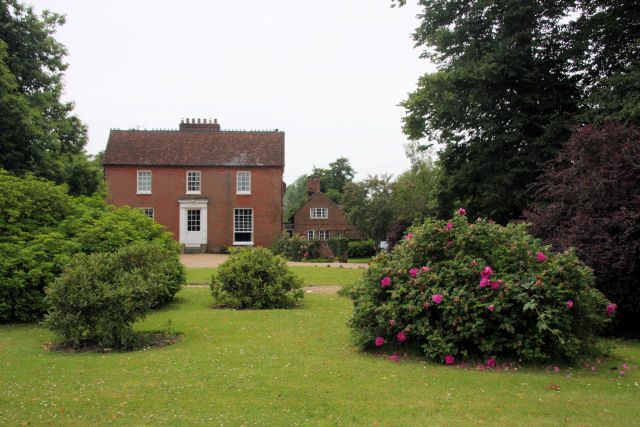
Wiston Hall. Adjacent to the church, this red-brick building assumes the as-pronounced version of the hamlet of Wissington.


