Compton Martin Walks
![]()
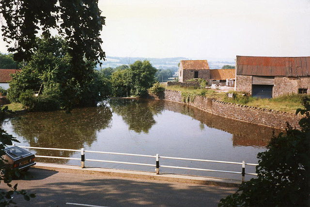
![]() This pretty Somerset village is in a fine location for exploring the Chew Valley on foot. In the village there's a signficant Norman church and the picturesque millpond which is the source of the Congresbury Yeo River.
This pretty Somerset village is in a fine location for exploring the Chew Valley on foot. In the village there's a signficant Norman church and the picturesque millpond which is the source of the Congresbury Yeo River.
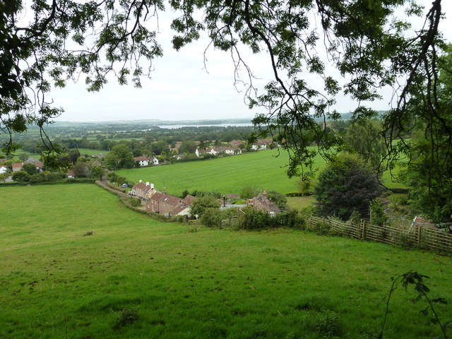
Both Blagdon Lake and Chew Valley Lake are within walking distance of the village. These large bodies of water have fine waterside walks and cycling trails to try.
The Monarch's Way and the Limestone Link also pass through the village. These waymarked long distance footpaths are a great way of exploring the surrounding countryside of the Mendip Hills.
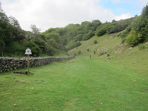
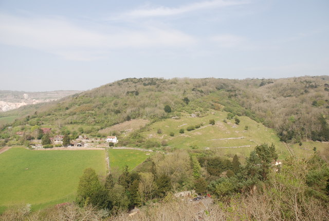
This walk from the village follows a section of the Limestone Link and country lanes west to visit one of the major highlights of the area at the spectacular Cheddar Gorge. On the way you will also pass Velvet Bottom a wildlife rich nature reserve in a dry limestone valley, located just to the north east of Cheddar Gorge. Ubley Warren Nature Reserve with its wide variety of interesting plants can also be found in this area.
Postcode
BS40 6JE - Please note: Postcode may be approximate for some rural locationsCompton Martin Ordnance Survey Map  - view and print off detailed OS map
Compton Martin Open Street Map  - view and print off detailed map
Compton Martin OS Map  - Mobile GPS OS Map with Location tracking
Compton Martin Open Street Map  - Mobile GPS Map with Location tracking
Walks near Compton Martin
- Blagdon Lake - Along the northern end of this large lake you'll find a lovely footpath running along the lake shore and through the lakeside woodland
- Chew Valley Lake - This walk follows the delightful nature trail which runs along the eastern side of this large lake in Chew Stoke
- East Harptree Woods - This walk explores East Harptree Woods near the village of East Harptree in Somerset.
- Two Rivers Way - Starting on Congresbury Bridge over the River Yeo follow the Two Rivers Way through Somerset to Keynsham on the River Avon
- Chew Magna - The pretty village of Chew Magna is located close to the northern edge of the Mendip Hills and was designated a conservation area in 1978
- Burrington Combe - Explore this fascinating carboniferous limestone gorge on this circular walk in the Mendip Hills AONB
- Litton Reservoir - This circular walk visits the Litton Reservoirs in the village of Litton in the Mendip Hills area of Somerset.
- Limestone Link - Starting at Cold Ashton in St Catherine's Valley, Gloucestershire follow the Limestone Link from the Cotswolds to the Mendip Hills in Somerset.
The walk first heads south towards Batheaston where you join the River Avon and the Kennet and Avon Canal for a lovely waterside stretch to Monkton Coombe - Cheddar Gorge - This is a circular walk around the magnificent Cheddar Gorge in Somerset.
- Cheddar Reservoir - Follow the waterside path around this reservoir on this easy circular walk in Somerset
- Velvet Bottom Circular Walk - This circular walk explores Velvet Bottom, a nature reserve in a dry limestone valley, located just to the north east of Cheddar Gorge.
Pubs/Cafes
The Ring O' Bells is an historic pub dating back to the 16th century. There's a wonderful old interior with plenty of original features such as dark wooden beams, wooden flooring, stone walls and a large inglenook fireplace. Outside there's a fantastic, large beer garden with views of the surrounding countryside. It's a great place to relax in on warmer days. You can find them at postcode BS40 6JE for your sat navs. They are dog friendly.
The Butcombe Trail also runs through the village. The waymarked circular walk visits several of the prettiest villages and the finest pubs in the Mendips.
Further Information and Other Local Ideas
Just over a mile to the south there's East Harptree Woods to explore. There's some peaceful woodland trails and the photogenic Smitham Chimney to visit here. In the neighbouring village of East Harptree there's also a fine 16th century pub.
Photos
Compton Martin: millpond and source of the Congresbury Yeo. In the nineteenth century the Congresbury Yeo powered watermills at Ubley, Wrington and Congresbury as well as a small paper mill at Compton Martin just below this millpond. Paper making had ceased by 1830 and the mill was converted to grind grist or animal feed. It later served as a rag store, barn and cider mill.


