Dartington Circular Walk
![]()
![]() A splendid circular walk around the Dartington Hall Estate near Totnes in Devon. The estate includes hundreds of acres of parkland with beautiful gardens, riverside paths and peaceful woodland trails. The Gardens, Deer Park and estate trails are open from dawn until dusk all year round. The site also includes a very good visitor centre and a range of shops.
A splendid circular walk around the Dartington Hall Estate near Totnes in Devon. The estate includes hundreds of acres of parkland with beautiful gardens, riverside paths and peaceful woodland trails. The Gardens, Deer Park and estate trails are open from dawn until dusk all year round. The site also includes a very good visitor centre and a range of shops.
The walk starts at the main hall car park where you can directly access the gardens. With a wide variety of plants and trees the gardens look absolutely stunning in the autumn months. There are nice footpaths to follow around this area before picking up another trail to take you down to the river.
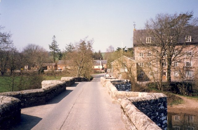
The footpath then runs along the river to Staverton railway station on the South Devon Railway. You pass Staverton Bridge before heading through North Wood towards Dartington village. The final section takes you back to the river for a final waterside stretch, before returning to the gardens.
Dartington is great for wildlife so keep your eyes peeled for a variety of woodland birds, butterflies and deer as you make your way around the estate.
This route is designed for walkers but a National Cycle Network route skirts the western edge of the estate. The traffic free trail can be followed from Totnes, passing along the river before coming to the village.
To continue your walking in the area you could head south and try our Totnes River Walk. The circular trail follows the Franklin Totnes Trail along the Dart and through the countryside to the west of the town.
The Dart Valley Trail can also be picked up here. The long distance trail will take you all the way to the Dart Estuary in Dartmouth.
Postcode
TQ9 6EL - Please note: Postcode may be approximate for some rural locationsPlease click here for more information
Dartington Ordnance Survey Map  - view and print off detailed OS map
Dartington Open Street Map  - view and print off detailed map
*New* - Walks and Cycle Routes Near Me Map - Waymarked Routes and Mountain Bike Trails>>
Dartington OS Map  - Mobile GPS OS Map with Location tracking
Dartington Open Street Map  - Mobile GPS Map with Location tracking
Further Information and Other Local Ideas
A few miles to the east there's the historic Berry Pomeroy Castle to explore. Here you'll find the ruins of a 15th century castle surrounded by pleasant woodland trails. The site is run by English Heritage so there's good facilities with a car park, gift shop and cafe. The John Musgrave Heritage Trail can be picked up in this area too. The waymarked trail runs from Maidencombe to Brixham, visiting several of South Devon's interesting historical sites on the way.


