Doune Castle Walk
![]()
![]() Explore the grounds of this fascinating 14th century castle before enjoying a waterside stroll along the River Teith and the Ardoch Burn.
Explore the grounds of this fascinating 14th century castle before enjoying a waterside stroll along the River Teith and the Ardoch Burn.
The Castle was the home of Robert Stewart, the 1st Duke of Albany. He was the ruler of Scotland, in all but name, from 1388 until in 1420.
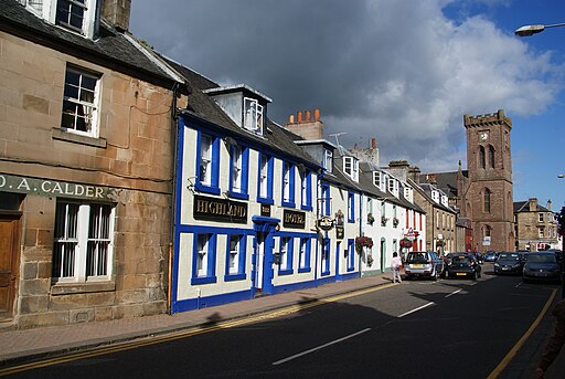
The circular walk starts by the church in the centre of the village of Doune and heads to the castle which is only a short distance away. The castle includes a 100ft high gatehouse and battlements which you can climb for wonderful views over the River Teith and out towards the Menteith Hills and Ben Lomond. There is also an audio tour of the castle narrated by Monty Python’s Terry Jones. The castle features in the film 'Monty Python and the Holy Grail'.
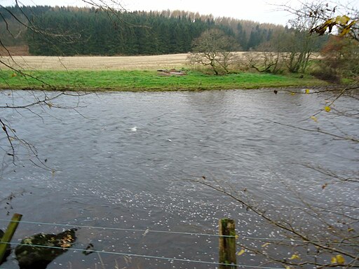
After leaving the castle you can follow the Ardoch Burn and the River Teith back towards the village. You could also continue along the Teith into the Wood of Doune to extend your walk.
Postcode
FK16 6EA - Please note: Postcode may be approximate for some rural locationsDoune Castle Ordnance Survey Map  - view and print off detailed OS map
Doune Castle Open Street Map  - view and print off detailed map
Doune Castle OS Map  - Mobile GPS OS Map with Location tracking
Doune Castle Open Street Map  - Mobile GPS Map with Location tracking
Further Information and Other Local Ideas
The dramatic castle has been used as a film location on several occasions.
- In 2013 it was the fictional "Castle Leoch" in the TV adaptation of the Outlander series of novels
- In 1974 it was used in the comedy 'Monty Python and the Holy Grail'. The song and dance routine "Knights of the Round Table" at "Camelot" was filmed in the Great Hall.
- The castle also featured as a set for Winterfell in the first season of the TV series Game of Thrones (2011–2019)
Just to the south west of Doune there's the Flanders Moss National Nature Reserve where there's a fine boardwalk and a huge variety of flora and fauna to see.
Cycle Routes and Walking Routes Nearby
Photos
Mill of Doune, ruins. You can find these ruins just east of the castle. The mill ground corn and barley. It was previously powered by the waters of the Ardoch Burn which flows into the River Teith nearby.


