Dowdeswell Reservoir
![]()
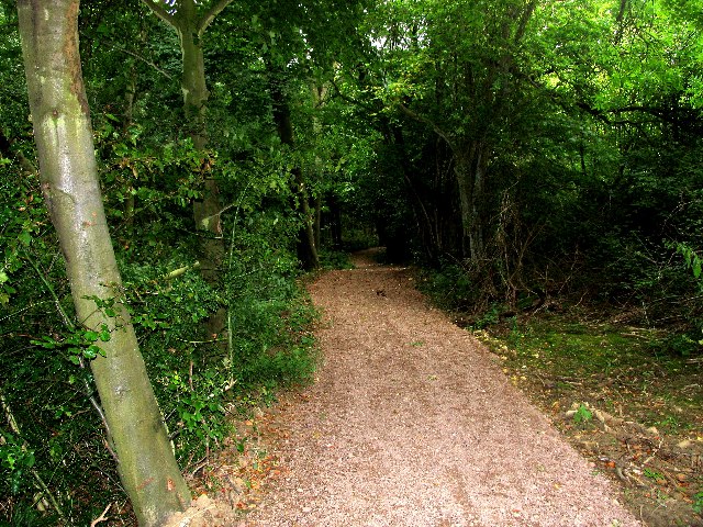
![]() Enjoy a stroll through Dowdeswell Wood to Dowdeswell Reservoir on this circular walk near Cheltenham. It's a pleasant area for a walk with footpaths leading through the woods and along the water. The area is also a nature reserve with lots of wildlife to look out for in the woods and on the reservoir. Keep your eyes peeled for wildfowl such as Moorhen, Coot, Mallard, Little Grebe and Great Crested Grebe. There's lots of interesting plants to see in the woods including Bluebell, Ramsoms (wild garlic),Common Spotted Orchid, Pyramidal Orchid and Cowslip. Roe and Muntjac deer are also visitors to the wood.
Enjoy a stroll through Dowdeswell Wood to Dowdeswell Reservoir on this circular walk near Cheltenham. It's a pleasant area for a walk with footpaths leading through the woods and along the water. The area is also a nature reserve with lots of wildlife to look out for in the woods and on the reservoir. Keep your eyes peeled for wildfowl such as Moorhen, Coot, Mallard, Little Grebe and Great Crested Grebe. There's lots of interesting plants to see in the woods including Bluebell, Ramsoms (wild garlic),Common Spotted Orchid, Pyramidal Orchid and Cowslip. Roe and Muntjac deer are also visitors to the wood.
The Cotswold Way passes along the western edge of the wood so you can pick this up to extend your walk. If you head south you can visit Lineover Wood. Here you will find ancient woodland and limestone grassland with splendid views of Cheltenham and the Malvern Hills. Heading north will take you to Cleeve Common and Cleeve Hill.
The Cheltenham Circular Footpath also passes the area. This long distance waymarked walk around Cheltenham gives wonderful views of the Cotswolds escarpment.
Dowdeswell Reservoir Ordnance Survey Map  - view and print off detailed OS map
Dowdeswell Reservoir Open Street Map  - view and print off detailed map
*New* - Walks and Cycle Routes Near Me Map - Waymarked Routes and Mountain Bike Trails>>
Dowdeswell Reservoir OS Map  - Mobile GPS OS Map with Location tracking
Dowdeswell Reservoir Open Street Map  - Mobile GPS Map with Location tracking
Pubs/Cafes
The Wheatsheaf is located just over a mile to the west of the reservoir. It's a very decent pub with good food, a nice large beer garden and an attractive oak pannelled interior with a cosy real fire. The pub has a parking area and is also dog friendly. It's a stones throw from the hill at 283 Old Bath Road with a postcode of GL53 9AJ for your sat navs.
The pub is frequented by be climbing Leckhampton Hill which is just to the south. It's a great place to extend your outing with some good paths and fine, far reaching views from the summit.
Dog Walking
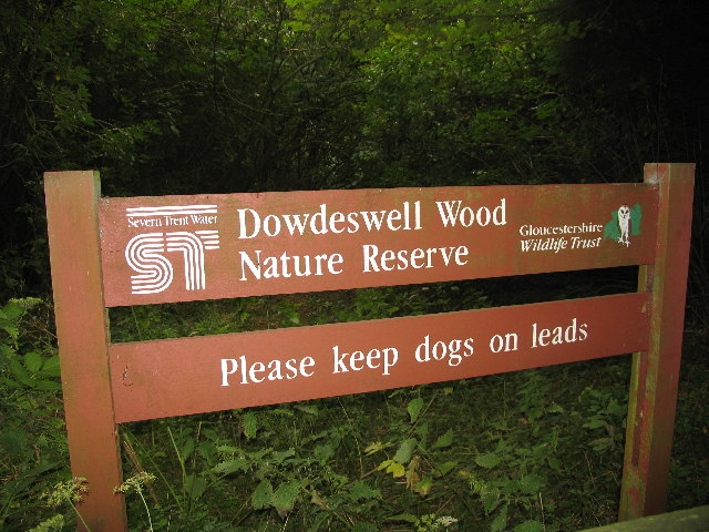
Dogs are welcome at the reserve but please keep them on leads. The Wheatsheaf pub mentioned above is also dog friendly.
Cycle Routes and Walking Routes Nearby
Photos
Dowdeswell Reservoir lies alongside the A40 east of Cheltenham. Originally used to supply water to Cheltenham it is now used as flood management and forms part of the Dowdeswell Woods nature reserve.


