Dyserth Waterfall Walk
![]()
![]() This pretty village in Denbighshire is a popular place for a walk. With waterfalls, woodland, hill climbs and a railway path to the coast there's plenty of options for stretching your legs. Three long distance waymarked trails also pass through the area so there's plenty of scope for extending your walking into the surrounding hills and countryside.
This pretty village in Denbighshire is a popular place for a walk. With waterfalls, woodland, hill climbs and a railway path to the coast there's plenty of options for stretching your legs. Three long distance waymarked trails also pass through the area so there's plenty of scope for extending your walking into the surrounding hills and countryside.
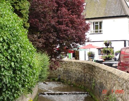
This short circular walk takes you around the lovely Dyserth Waterfalls. It's a very pretty area with 70ft high falls, caves, streams and woodland trails.
You can start the walk from the car park on Waterfall Road with a postcode of LL18 6ET for your sat navs. You can then follow footpaths around the falls, the surrounding woodland and along the River Ffyddion. Near the falls you can also visit St Briget's Church where you'll find a Grade II listed building with a notable Jesse Window dating from the 16th century.
You can easily extend the walk by picking up the circular Prestatyn Walk. This will take you to the neighbouring seaside town along the Dyserth to Prestatyn Walkway which runs along a disused railway line between the two settlements.
Postcode
LL18 6ET - Please note: Postcode may be approximate for some rural locationsDyserth Ordnance Survey Map  - view and print off detailed OS map
Dyserth Open Street Map  - view and print off detailed map
Dyserth OS Map  - Mobile GPS OS Map with Location tracking
Dyserth Open Street Map  - Mobile GPS Map with Location tracking
Pubs/Cafes
There's a nice cafe at the site where you can enjoy refreshments after your walk.
Dog Walking
The area is a lovely place for a dog walk with woodland trails and streams for them to paddle in.
Further Information and Other Local Ideas
The North Wales Path and the Offa's Dyke Path run past the village. These waymarked trails can be used to explore the coast, countryside and hills surrounding the village. If you head a short distance to the north you can climb to Graig Fawr and enjoy some wonderful views to the coast.
Head west of the town and you could pay a visit to Bodrhyddan Hall. There's nice paths around the formal gardens surrounding this fine 17th century stately home.
Also near the village is the coastal Point of Ayr Nature Reserve. There's wonderful views across the Dee Estuary and lots of wildlife to look out for here.
Cycle Routes and Walking Routes Nearby
Photos
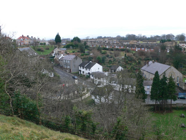
Lower Dyserth as seen from the hill above the waterfall. Bethel chapel (right) is now disused; the small white building behind the trees in the centre is the Waterfall Shop which was once the stables for the pub situated next to Bethel.


