Graig Fawr
![]()
![]() This walk climbs to Graig Fawr hill near Dyserth and Prestatyn in North Wales.
This walk climbs to Graig Fawr hill near Dyserth and Prestatyn in North Wales.
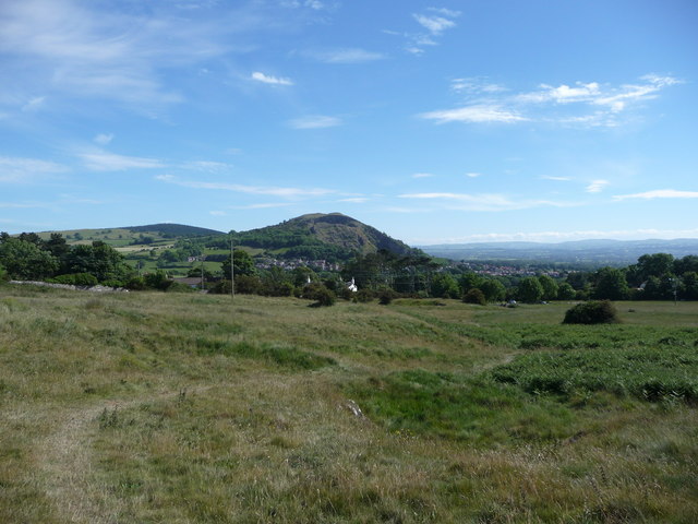
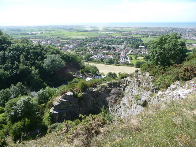
The National Trust estate is located just to the north east of Dyserth. You can start the walk from the car park near Castle Quarry and follow footpaths north to the hill top which stands at a height of 153 metres (502 feet). From here there are some excellent views north to the coast around Prestatyn. There's also good views towards the surrounding hills of the Clwydian Range. The hill is surrounded by woodland and limestone outcrops that rise up steeply, above the little village of Meliden.
Both the Offa's Dyke Path and the North Wales Path pass the hill. You could pick up these waymarked trails to extend the walk if you have time.
Head north east and you could visit the Prestatyn Hillside Nature Reserve where there are some peaceful woodland trails and good wildlife spotting opportunities.
Graig Fawr Ordnance Survey Map  - view and print off detailed OS map
Graig Fawr Open Street Map  - view and print off detailed map
Graig Fawr OS Map  - Mobile GPS OS Map with Location tracking
Graig Fawr Open Street Map  - Mobile GPS Map with Location tracking
Pubs/Cafes
Harley's cafe is conveniently located to the west of the summit. They serve a good range of meals including a popular big breakfast. Address is Unit 4, Craig Fawr Industrial Estate, LL18 6DD.
If you fancy a pub lunch then The Miners Arms can be found just to the north in Meliden. LS Lowry sketched the pub on a visit to the area in 1928; you can see the print on display. Pictures of old Meliden decorate the walls throughout. 23 Ffordd Talargoch, Meliden, LL19 8LA. The pub is dog friendly.
Cycle Routes and Walking Routes Nearby
Photos
Clive Shaft Engine House, Meliden. This historic site is on the western side of the hill. Built in 1862 in the Cornish style on land that belonged to the Right Honourable Robert Henry Clive, to house an enormous Cornish pumping engine, it kept the Talargoch Lead Mine free of water at depth, enabling ever more lead to be raised.


