East Suffolk Line Walks
![]()
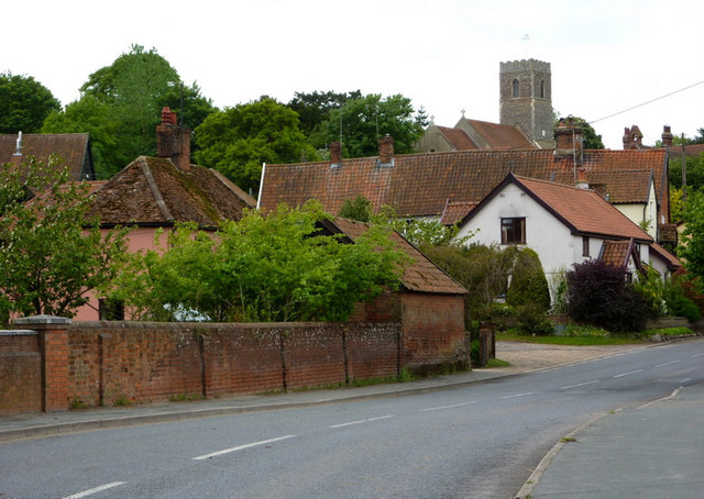
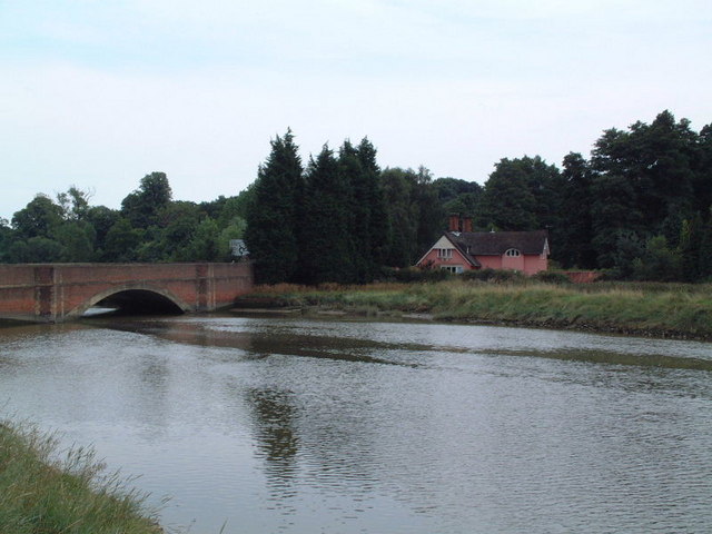
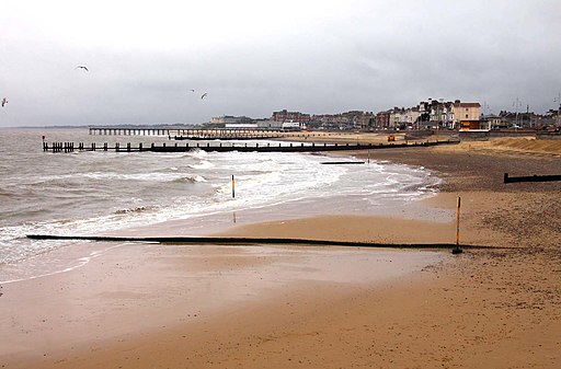
![]() Follow the 'East Suffolk Line' railway from Ipswich to Lowestoft on this splendid walk through the Suffolk countryside. You'll pass through Woodbridge, Melton, Saxmundham, Halesworth and Beccles. There are also several riverside sections along the Rivers Alde, Deben, Fynn and the final one along the River Waveney from Beccles to Lowesoft.
Follow the 'East Suffolk Line' railway from Ipswich to Lowestoft on this splendid walk through the Suffolk countryside. You'll pass through Woodbridge, Melton, Saxmundham, Halesworth and Beccles. There are also several riverside sections along the Rivers Alde, Deben, Fynn and the final one along the River Waveney from Beccles to Lowesoft.
The walk is waymarked with a yellow and blue disc.
Please click here for more information
East Suffolk Line Walks Ordnance Survey Map  - view and print off detailed OS map
East Suffolk Line Walks Open Street Map  - view and print off detailed map
East Suffolk Line Walks OS Map  - Mobile GPS OS Map with Location tracking
East Suffolk Line Walks Open Street Map  - Mobile GPS Map with Location tracking
Further Information and Other Local Ideas
For more walking ideas in the area see the Suffolk Walks, Suffolk Coast and Heaths Walks and Norfolk Broads Walks pages.
Cycle Routes and Walking Routes Nearby
Photos
Saltmarsh and the River Deben near Woodbridge. Near Kyson Point the remaining saltmarsh is intersected by various tributaries of the river. The saltmarsh is disappearing rapidly from East Anglia's tidal rivers.
Beccles Carnival
Elevation Profile


