Elidir Trail and Sgwd Gwladus Waterfall Walk
![]()
![]() This walk in Pontneddfechan visits Sgwd Gwladus in Wales' beautiful waterfall country. The route runs for about 5 miles, following Nedd Fechan past a series of lovely waterfalls in a peaceful wooded valley.
This walk in Pontneddfechan visits Sgwd Gwladus in Wales' beautiful waterfall country. The route runs for about 5 miles, following Nedd Fechan past a series of lovely waterfalls in a peaceful wooded valley.
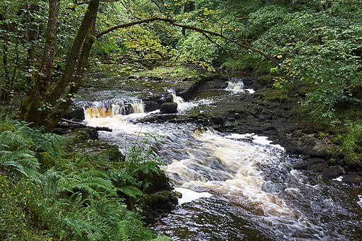
The walk starts in the village of Pontneddfechan where you can pick up the footpath along the Nedd Fechan and follow it north to Sgwd Gwladus. Also known as The Lady Fall these elegant falls drop from a height of about 20 feet. The falls are named after Gwladus, one of the daughters of the 5th century prince Brychan. It's a lovely spot with the rushing falls and a series of stepping stones over the River Pyrddin.
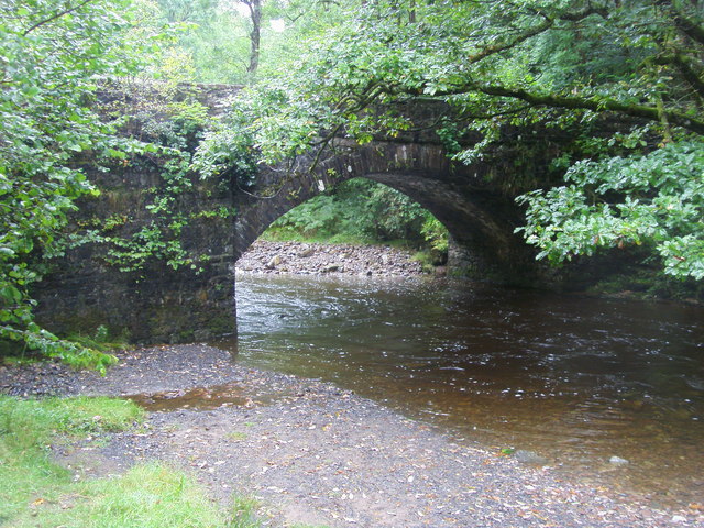
The route then continues to visit Scwd Einion Gam and Scwd Ddwli before turning round at the bridge to the north of the latter falls. You then return to the village on the same paths.
There's lots of good options for continuing your walking in Waterfall Country. The Four Waterfalls Walk, the Neath Waterfalls Walk and Melincourt Falls all offer good paths of varying lengths.
Postcode
SA11 5NR - Please note: Postcode may be approximate for some rural locationsElidir Trail and Sgwd Gwladus Waterfall Ordnance Survey Map  - view and print off detailed OS map
Elidir Trail and Sgwd Gwladus Waterfall Open Street Map  - view and print off detailed map
*New* - Walks and Cycle Routes Near Me Map - Waymarked Routes and Mountain Bike Trails>>
Elidir Trail and Sgwd Gwladus Waterfall OS Map  - Mobile GPS OS Map with Location tracking
Elidir Trail and Sgwd Gwladus Waterfall Open Street Map  - Mobile GPS Map with Location tracking
Pubs/Cafes
Head to the aptly named Sgwd Gwladys for some post walk refreshments. A former Tourist Information Centre, the attractive stone building has been restored and brought back to life with an amazing transformation by two local businessmen. There's a lot on offer here with a coffee shop, bar and restaurant to try. It also includes a splendid outdoor seating area with fine views of the surrounding countryside. You can find it on the Pontneddfechan Road, at a postcode of SA11 5NR for your sat navs.
The Angel Inn is also located in the village and another fine option. There's a good menu and an outdoor seating area for finer days. You can find the pub at postcode SA11 5NR. There's a good sized car park there too.
Cycle Routes and Walking Routes Nearby
Photos
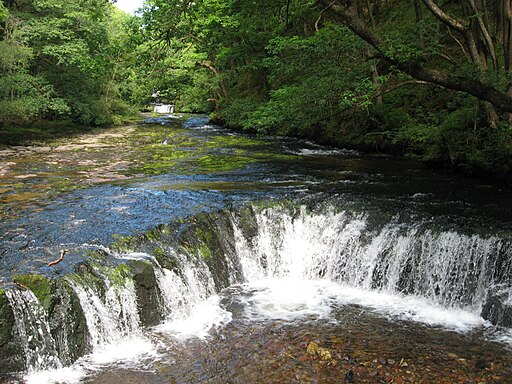
Scwd Ddwli falls One of six waterfalls on the Nedd Fechan river which we combined with the 4 waterfalls walk from just south of Ystradfellte. They were quite a spectacle following heavy rain, and combining this with the cave below the car park at SN928124 made for a great day.
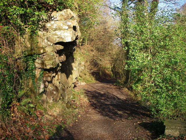
Farewell Rock. A popular path starts up beside the Nedd Fechan from behind the Angel Inn. It was originally cut into the sheer sides of the gorge to accommodate a tramway to bring 'silica rock' - a particularly pure sandstone suitable for the manufacture of refractory bricks - down from the various mines further up the valley. However the rock outcrop here is an example of another thick bed of sandstone known as the 'Farewell Rock' which marks the very base of the South Wales Coal Measures. Mining below it was fruitless, as no further ironstone or coal seams would be encountered - 'farewell' to useful mining - hence the colourful name.


