Empingham Walks
![]()
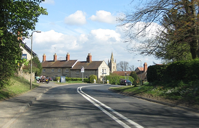
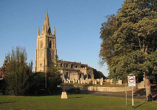
![]() This Rutland based village sits very close to the Rutland Water dam with its waterside walking and cycling routes.
This Rutland based village sits very close to the Rutland Water dam with its waterside walking and cycling routes.
This circular walk from the village uses some of the local walking trails to visit Rutland Water and the neighbouring villages of Edith Weston and Ketton.
The walk starts in the village and follows the Hereward Way west to Rutland Water. Here you can pick up a shared cycling and walking trail running south along the dam.
The trail will take you to Edith Weston where you can pick up a pleasant country lane heading east towards Ketton.
At Ketton you pick up the Macmillan Way and follow it north west through the countryside to return to Empingham.
Postcode
LE15 8PS - Please note: Postcode may be approximate for some rural locationsEmpingham Ordnance Survey Map  - view and print off detailed OS map
Empingham Open Street Map  - view and print off detailed map
Empingham OS Map  - Mobile GPS OS Map with Location tracking
Empingham Open Street Map  - Mobile GPS Map with Location tracking
Walks near Empingham
- Rutland Round - Explore the peaceful countryside of Rutland on this delightful circular walk
- Rutland Water - This splendid Nature Reserve has a fabulous cycling and walking path around the perimeter of the huge artificial lake
- Oakham - Oakham is the county town of Rutland and located in a lovely spot with miles of country trails and the wonderful Rutland Water nearby
- Exton - This Rutland based village has some pleasant trails to follow through the parkland of the historic Exton Hall
- Viking Way - Follow in the footsteps of the Norse invaders on this long distance walk from the Humber Bridge to Oakham in Rutland
- Eyebrook Reservoir - Enjoy a stroll alongside this lovely reservoir near Corby
- Uppingham - The town of Uppingham is located in a pleasant position in Rutland
- Stamford - The Lincolnshire town of Stamford has a number of good options for walkers visiting the area
- Twyford Wood - This wood near Grantham has miles of footpaths taking you to conifer woodland, grassland and the lovely Twyford Wood butterfly glades
- Hereward Way - Starting in Oakham, in Rutland, follow the Herward Way through Stamford, Peterborough, Ely, and the Breckland forests to Thetford, in Norfolk
- Macmillan Way - This epic long distance path links Boston in Lincolnshire to Abbotsbury in Dorset
- Clipsham - This walk explores the lovely Yew Tree Avenue in the Rutland village of Clipsham.
Pubs/Cafes
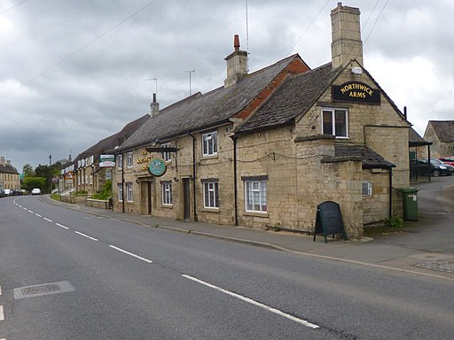
Back in the village you can enjoy some post walk refreshment at the White Horse. The stone built pub serves fine Italian food and includes a large garden, parking area and rooms.
You can find them on Main Street at postcode LE15 8PS.
Further Information and Other Local Ideas
Just to the north there's the neighbouring village of Exton. There's a pleasant circular walk here taking you around the parkland of the old Exton Hall before visiting the two pretty lakes at Fort Henry. In the village you could also visit the noteworthy Barnsdale Gardens. The beautiful gardens were created by former Gardener's World presenter Geoff Hamilton during the 1980s and 1990s. They are now open to the public and include Britain's largest collection of individually designed gardens. Highlights are the ornamental kitchen garden, a cottage garden and the Versailles garden.
Near here there's Clipsham where you can enjoy a stroll along the tranquil Yew Tree Avenue with its splendid topiary. The pretty village also includes an award winning pub for refreshments afterwards.
Photos
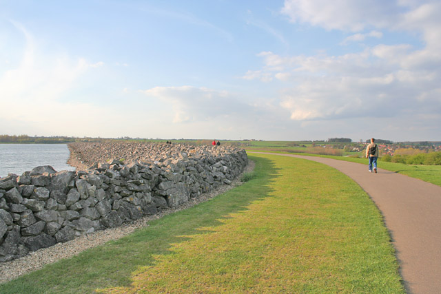
Walkers by the Dam at Rutland Water. The body of water was originally to be named Empingham Reservoir but it was renamed Rutland Water to preserve the name of the county which was being merged with Leicestershire.
