Falls of Leny
![]()
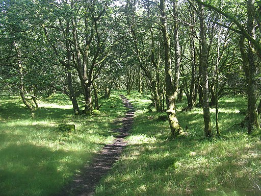
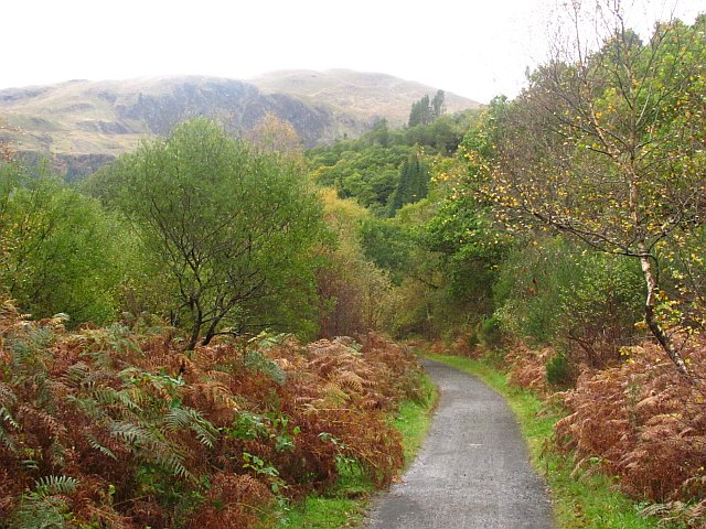
![]() Visit these beautiful falls on this short walk from Callander in the Loch Lomond and the Trossachs National Park. You can follow a cycling and walking trail along a dismantled railway line from Callander to the falls. It's about a 2.5 mile walk along the Garbh Uisge river and the forestry of Queen Elizabeth Forest Park. It's a splendid short route with the rushing waters of the river and views of Ben Ledi and the other surrounding mountains.
Visit these beautiful falls on this short walk from Callander in the Loch Lomond and the Trossachs National Park. You can follow a cycling and walking trail along a dismantled railway line from Callander to the falls. It's about a 2.5 mile walk along the Garbh Uisge river and the forestry of Queen Elizabeth Forest Park. It's a splendid short route with the rushing waters of the river and views of Ben Ledi and the other surrounding mountains.
You can extend your walk by continuing north and visiting Loch Lubnaig.
Just to the west of Callander there's another nice trail running along Loch Venachar and Loch Drunkie.
Postcode
FK17 8HD - Please note: Postcode may be approximate for some rural locationsFalls of Leny Ordnance Survey Map  - view and print off detailed OS map
Falls of Leny Open Street Map  - view and print off detailed map
Falls of Leny OS Map  - Mobile GPS OS Map with Location tracking
Falls of Leny Open Street Map  - Mobile GPS Map with Location tracking
Pubs/Cafes
The Lade Inn is located near the start of the walk at Kilmahog. The cosy pub serves fine freshly prepared meals and exclusive House Ales. There's also a lovely garden where you can relax and enjoy views of the surrounding mountains. You can find them at postcode FK17 8HD for your sat navs.
Dog Walking
The woodland and river paths make for a fine dog walk. The Lade Inn mentioned above is also dog friendly.
Further Information and Other Local Ideas
The Callander to Balquhidder Cycle and Walk passes the falls. It runs along the old Callander & Oban Railway, passing Loch Lubnaig on the way.
For more walking ideas in the area see the Loch Lomond and the Trossachs Walks page.
Cycle Routes and Walking Routes Nearby
Photos
Falls of Leny. The River Leny, or Garbh Uisge, tumbles through the wooded Pass of Leny. This view is taken from the south bank - access to the viewpoint on the north bank is closed, as is the car park on the A84.


