Fenny Bentley Walk
![]()
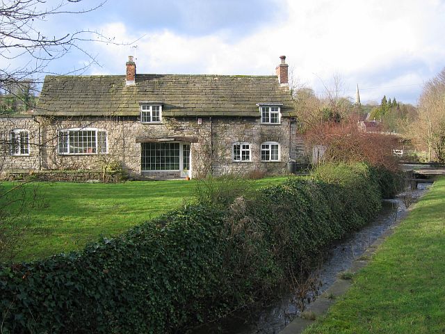
![]() This pretty Derbyshire Dales village is surrounded by some beautiful countryside. The village also includes the picturesque Bentley Brook and some quaint old buildings.
This pretty Derbyshire Dales village is surrounded by some beautiful countryside. The village also includes the picturesque Bentley Brook and some quaint old buildings.
This circular walk from the village visits some of the highlights of the area including Tissington Hall, Dovedale Stepping Stones and Thorpe Cloud. The walk could also be extended by visiting the splendid Ilam Park which lies just to the west.
The walk starts by the old church in the village and heads west to link up with the Tissington Trail. You can follow this shared cycling and walking rail trail north to visit the neighbouring village of Tissington and Tissington Hall. The 17th-century Jacobean mansion house is surrounded by some lovely terraces and gardens. It is open to the public on certain days of the year.
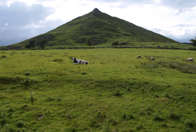
The route then picks up a section of the Limestone Way and follows the waymarked trail south to Thorpe. From here you can climb to the wonderful viewpoint at Thorpe Cloud before descending to visit the iconic stepping stones in Dovedale. The walk then returns to Thorpe before heading east to return to Fenny Bentley.
Postcode
DE6 1LF - Please note: Postcode may be approximate for some rural locationsFenny Bentley Ordnance Survey Map  - view and print off detailed OS map
Fenny Bentley Open Street Map  - view and print off detailed map
Fenny Bentley OS Map  - Mobile GPS OS Map with Location tracking
Fenny Bentley Open Street Map  - Mobile GPS Map with Location tracking
Walks near Fenny Bentley
- Dovedale - The beautiful Dovedale is one of the must see areas in the Peak District
- Dovedale Circular Walk - This popular circular walk takes you from Dovedale to Milldale using sections of the Tissington Trail and Limestone Way to take you on a tour of this popular area of the Peak District
- Thorpe Cloud - This short walk climbs to the top of Thorpe Cloud in the Peak District
- Ilam Park - Ilam Country Park is a delightful open space owned by the National Trust
- Ilam Circular Walk - Explore Ilam Park before heading into the beautiful Manifold Valley on this circular walk in the Staffordshire Peak District
- Ilam Dovedale Circular Walk - This circular walk takes you from Ilam Park into the beautiful Dovedale in the White Peak
- Tissington Trail - The Tissington trail is a 13 mile off road path following the trackbed of a disused railway line through the stunning Peak District National Park.
The trail is shared by walkers and cyclists offering fabulous views of the Derbyshire countryside - Limestone Way - Travel through the beautiful Peak District National Park on this walk through Derbyshire and into Staffordshire.
The walk starts at Castleton, passing through the scenic Cave Dale and past the remains of Peverill Castle - Ashbourne to Dovedale Circular Walk - This circular walk takes you from the popular town of Ashbourne to the beautiful Dovedale in the Peak District
- Parwich - This attractive Peak District village has a nice village green, picturesque old limestone cottages, an historic church and a fine 17th century pub to relax in after your walking.
Pubs/Cafes
The Bentley Brook Inn is a nice place for some post walk refreshments. The pub includes a bar and lounge area with a lovely garden and patio outside. You can find them at postcode DE6 1LF for your sat navs.
Dog Walking
The country and hill trails are good for fit dogs. The inn mentioned above is also very dog friendly.
Photos
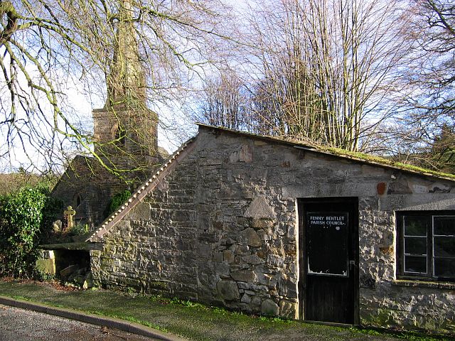
Cherry Orchard Farm was once the family home of the Beresfords and known as Bentley Hall. The tower is 15th century.
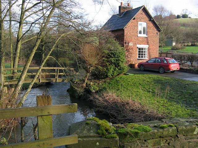
Bentley Brook and Woodeaves Cottage. Looking across Bentley Brook from a small road bridge over the brook. The footbridge is part of the property of Woodeaves Cottage.


