Ilam Park Circular Walk
![]()
![]() Explore Ilam Park before heading into the beautiful Manifold Valley on this circular walk in the Staffordshire Peak District. The route runs for just over 8 miles and includes some moderately challenging hill climbs, so a reasonable level of fitness is required.
Explore Ilam Park before heading into the beautiful Manifold Valley on this circular walk in the Staffordshire Peak District. The route runs for just over 8 miles and includes some moderately challenging hill climbs, so a reasonable level of fitness is required.
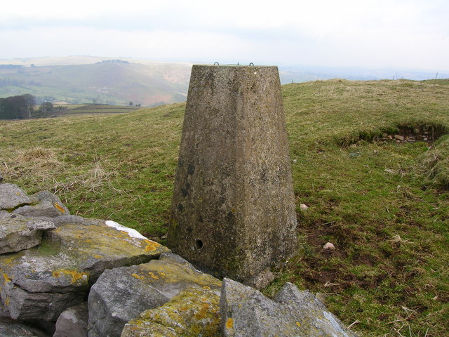
The walk starts in the parking area of the National Trust owned Ilam Park. The park is a great base for exploring the White Peak area of the national park and includes lovely gardens and the Grade II* listedá Ilam Hall. You can follow footpaths west across the park before crossing the River Manifold and climbing past Musden Low hill where there are great views over the area.
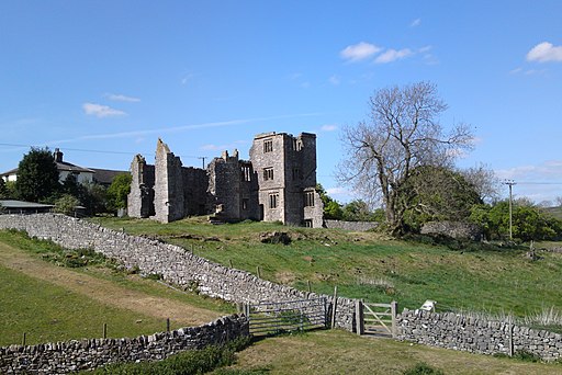
The route continues west past the village of Calton before coming to the River Hamps where you pick up the Manifold Way long distance trail. At Beeston Tor you have the option of continuing north along the River Manifold but this route turns south east past Old Park Hill. You'll pass the ruins of Throwley Old Hall before following country lanes to Rushley and then back to Ilam Park.
If you enjoy this walk then you could head east from the park and try our Dovedale Circular Walk. The route visits the beautiful valley of the River Dove with its fascinating limestone rock formations, interesting plant life and cave system.
You can also pick up the long distance Limestone Way and explore the Peak District's finest limestone scenery.
Ilam Circular Walk Ordnance Survey Map  - view and print off detailed OS map
Ilam Circular Walk Open Street Map  - view and print off detailed map
*New* - Walks and Cycle Routes Near Me Map - Waymarked Routes and Mountain Bike Trails>>
Ilam Circular Walk OS Map  - Mobile GPS OS Map with Location tracking
Ilam Circular Walk Open Street Map  - Mobile GPS Map with Location tracking
Further Information and Other Local Ideas
To extend the walk you could continue north along the River Manifold and visit the stunning naturalácavern at Thor's Cave. From here it is also a short walk to the pretty village of Wetton. The village has an inn, and a church, part of which dates back to the 14th century.
For an alternative circular walk through the dale see the Ilam Dovedale Circular Walk which starts from the car park at the National Trust's Ilam Park. This will take you up to up to Stanshope on country lanes before heading into Dovedale at the Dove Holes caves. It then visits the stepping stones and Lovers Leap before returning to the car park.
For more walking ideas in the area see the White Peak Walks page.


