Folly Dolly Falls
![]()
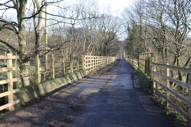
![]() This walk visits the pretty Folly Dolly Falls in Meltham in Yorkshire. You can reach the falls by picking up the Meltham Greenway on the eastern side of the town, parking at the Morrisons supermarket nearby. Follow the woodland trail east for just over half a mile and you will come to the waterfall on your left, through a gap in the fence.
This walk visits the pretty Folly Dolly Falls in Meltham in Yorkshire. You can reach the falls by picking up the Meltham Greenway on the eastern side of the town, parking at the Morrisons supermarket nearby. Follow the woodland trail east for just over half a mile and you will come to the waterfall on your left, through a gap in the fence.
You can then follow some steps down to the falls. The falls are a bit of a local hidden gem and thought to take their name from a lady who lived in a nearby ruined cottage. The cascade is particularly impressive after heavy rainfall.
Postcode
HD9 5QS - Please note: Postcode may be approximate for some rural locationsFolly Dolly Falls Ordnance Survey Map  - view and print off detailed OS map
Folly Dolly Falls Open Street Map  - view and print off detailed map
*New* - Walks and Cycle Routes Near Me Map - Waymarked Routes and Mountain Bike Trails>>
Folly Dolly Falls OS Map  - Mobile GPS OS Map with Location tracking
Folly Dolly Falls Open Street Map  - Mobile GPS Map with Location tracking
Pubs/Cafes
In Meltham there's the Travellers Rest for some post walk refreshment. The pub has a friendly atmosphere and is a popular place for walkers. They have a lovely large garden area where you can enjoy great views with your meal. You can find them on Slaithwaite Rd with a postcode of HD9 5NH for your sat navs.
Dog Walking
The woodland trails on the greenway make for a pleasant dog walk. The Travellers Rest mentioned above is also dog friendly.
Further Information and Other Local Ideas
To continue your walking in the area pick up the circular Meltham Walk and pay a visit to Deer Hill Reservoir and Butterley Reservoir.
For more walking ideas in the area see the South Pennines Walks and Peak District Walks pages.
Cycle Routes and Walking Routes Nearby
Photos
Fault at Folly Dolly Falls, Meltham. The line of the fault runs down the rock face to the left of the waterfall. The face of the waterfall is a massive sandstone exposure of the Upper Carboniferous Huddersfield White Rock with cross bedding. To the left of the fault soft shales can be seen dipping steeply.
Former tractor test track Meltham Greenway. This was a test track for the David Brown Tractor factory, which was approached by a straight driveway along the disused railway line.


