GPS Cycle and Walking Routes

Forrestburn Reservoir

0.62 miles (1 km)

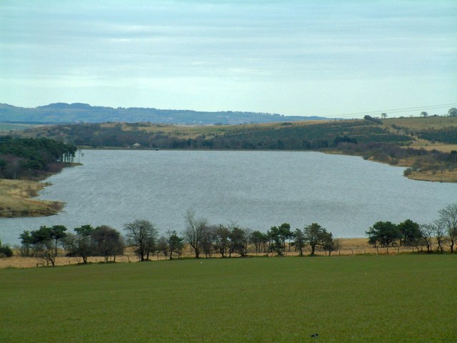
This reservoir in North Lanarkshire is a nice place for a walk or some fishing.
The lake is located just west of Harthill and Armadale. There's some lovely scenic views over the water to the surrounding hills and countryside.
You can continue your waterside walking to the north around Hillend Reservoir. The Airdrie to Bathgate Cycle Path can also be accessed here. To the west is Roughrigg Reservoir where there's a circular walk along the grassy paths of the old railway track.

Postcode

ML7 5TR - Please note: Postcode may be approximate for some rural locations

Forrestburn Reservoir OS Map - Mobile GPS OS Map with Location tracking

Forrestburn Reservoir Open Street Map - Mobile GPS Map with Location tracking

Photos

Forrestburn Reservoir - geograph.org.uk - 627309

The west end of Forrestburn Reservoir with the M8 in the background.

Forrestburn Reservoir - geograph.org.uk - 150447

Forrestburn Reservoir

Waterworks cottage being renovated, Forrestburn Reservoir, Harthill - geograph.org.uk - 205153

Waterworks cottage being renovated, Forrestburn Reservoir, Harthill. This reservoir is now used for fishing and the cottage is being renovated.

Forrestburn Reservoir - geograph.org.uk - 3562352

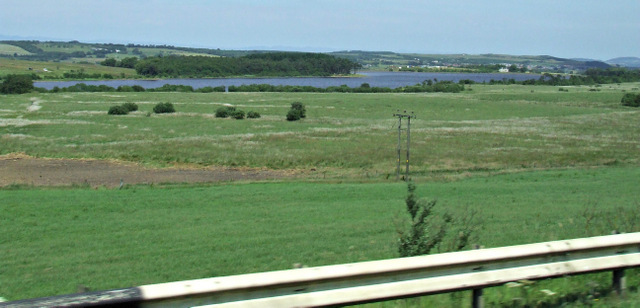
Across the green fields to the south of the lake.

Video

GPS Files

GPX File

Forrestburn Reservoir.gpx (On Desktop:Right Click>Save As. On Ipad/Iphone:Click and hold>Download Linked File)

Memory Map Route

Forrestburn Reservoir.mmo (On Desktop:Right Click>Save As. On Ipad/Iphone:Click and hold >Download Linked File)