Garn Goch
1.6 miles (2.5 km)
![]()
![]() This walk climbs to the hill fort at Garn Goch, located near Llandeilo and Llangadog in the Brecon Beacons.
This walk climbs to the hill fort at Garn Goch, located near Llandeilo and Llangadog in the Brecon Beacons.
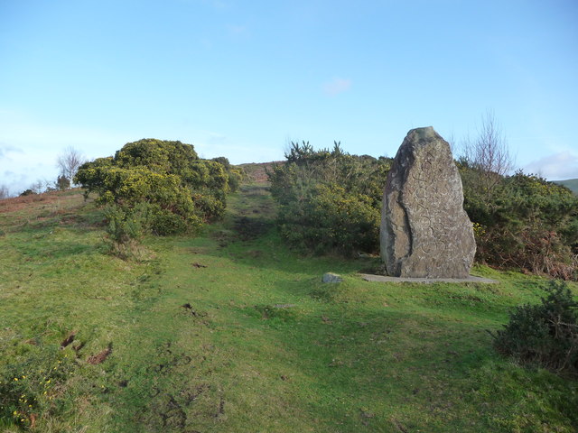
You can start your walk from the car park which lies just west of the hill. Then follow a section of the Heart of Wales Line Trail east to climb to the summit. There's two ancient Iron Age Hill forts and some wonderful views to enjoy from the high points.
You can extend the walk by heading south along the Heart of Wales Line Trail to visit another historic site at Carreg Cennen Castle. The castle sits on an elevated limestone precipice with fabulous views over the lovely Brecon Beacons countryside.
Garn Goch Ordnance Survey Map  - view and print off detailed OS map
Garn Goch Open Street Map  - view and print off detailed map
Garn Goch OS Map  - Mobile GPS OS Map with Location tracking
Garn Goch Open Street Map  - Mobile GPS Map with Location tracking
Cycle Routes and Walking Routes Nearby
Photos
Y Gaer Fach Photo taken from the centre of Gaer Fach looking towards Gaer Fawr, the two ancient hill forts of Garn Goch.


