Glaslyn Nature Reserve
![]()
![]() This circular walk visits a tranquil nature reserve and lake in the Cambrian Mountains of Wales.
This circular walk visits a tranquil nature reserve and lake in the Cambrian Mountains of Wales.
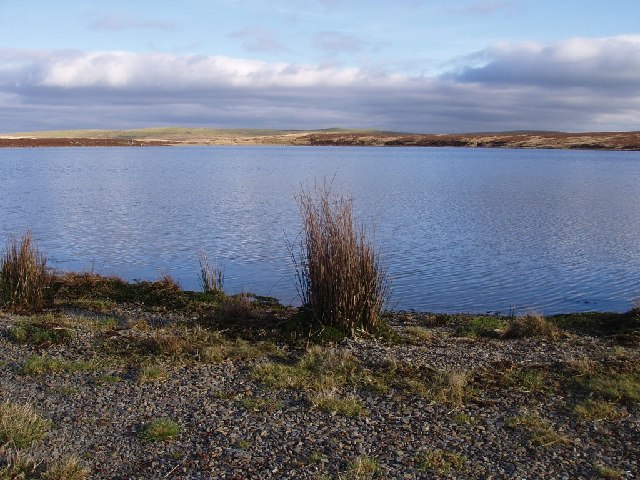
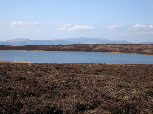
There's a nice circular trail running around the small lake with wonderful views over the water to the surrounding mountains.
You can start the walk on the eastern side of the water where there is a car park and an information board with details on the flora and fauna at the site. In particular look out for the pretty heather in the late summer.
Some of the path can be quite boggy so you may need good waterproof boots to do the whole circuit.
To continue your walking in the area you could pick up the Cambrian Way and follow the waymarked footpath south to Plynlimon, the highest point in the Cambrian Mountains. The long distance Glyndwr's Way also passes to the north of the lake.
Postcode
SY20 8RE - Please note: Postcode may be approximate for some rural locationsGlaslyn Nature Reserve Ordnance Survey Map  - view and print off detailed OS map
Glaslyn Nature Reserve Open Street Map  - view and print off detailed map
Glaslyn Nature Reserve OS Map  - Mobile GPS OS Map with Location tracking
Glaslyn Nature Reserve Open Street Map  - Mobile GPS Map with Location tracking
Further Information and Other Local Ideas
Just to the east you can pick up the lovely Dylife Waterfall Walk. The walk takes you to the photogenic Ffrwd Fawr waterfall, passing the historic old mine workings on the way.
Cycle Routes and Walking Routes Nearby
Photos
Glaslyn. The lake spreads over the southern part of the square and the north of SN822939. In the northern half of the square, the plateau ends with a steep flank down towards the Dulas and Dyfi valleys.
View over the lake to Cadair Idris


