Golitha Falls Walk
![]()
![]() Golitha Falls National Nature Reserve has woodland walking trails taking you through a steep-sided valley gorge. The River Fowey runs through the gorge with a series of spectacular cascades known as Golitha Falls. The reserve is excellent for interesting flora and fauna with diverse plantlife including bluebells, wildflowers, cow-wheat, bilberry and wavy-hair grass. Look out for wildlife including butterflies, bats and birds such as dipper, nuthatch, treecreeper and buzzard. There is a good size car park at Draynes Bridge from which this walk begins. Golitha Falls is located just a few miles north of Liskeard.
Golitha Falls National Nature Reserve has woodland walking trails taking you through a steep-sided valley gorge. The River Fowey runs through the gorge with a series of spectacular cascades known as Golitha Falls. The reserve is excellent for interesting flora and fauna with diverse plantlife including bluebells, wildflowers, cow-wheat, bilberry and wavy-hair grass. Look out for wildlife including butterflies, bats and birds such as dipper, nuthatch, treecreeper and buzzard. There is a good size car park at Draynes Bridge from which this walk begins. Golitha Falls is located just a few miles north of Liskeard.
If you would like to extend your walking in the area then you could head to the nearby Siblyback Lake where you will find a lovely waterside footpath.
Postcode
PL14 6RX - Please note: Postcode may be approximate for some rural locationsGolitha Falls Ordnance Survey Map  - view and print off detailed OS map
Golitha Falls Open Street Map  - view and print off detailed map
*New* - Walks and Cycle Routes Near Me Map - Waymarked Routes and Mountain Bike Trails>>
Golitha Falls OS Map  - Mobile GPS OS Map with Location tracking
Golitha Falls Open Street Map  - Mobile GPS Map with Location tracking
Explore the Area with Google Street View 
Pubs/Cafes
Inkie's Smokehouse is located next to the car park at the start. They serve particularly delicious shakes, burgers and waffles which you can enjoy in the outdoor seating area.
Dog Walking
Golitha Falls in Cornwall is a dog-friendly location, welcoming dogs all year round. However, it's important to note that dogs need to be kept on a lead between March 1st and July 31st to protect ground-nesting birds. For the rest of the year, dogs can roam off-lead, but it's still wise to keep them on a lead in areas where wildlife might be present
Further Information and Other Local Ideas
A couple of miles to the north east you will find the highest village in Cornwall at Minions. There's also the circular walk to the Cheesewring and Hurlers Stone Circle to try from here. The distinctive granite tor sits atop Stowe's Hill and is a popular destination for walkers and photographers.
For more walking ideas in the area see the Cornwall Walks and the Bodmin Moor Walks pages.
Cycle Routes and Walking Routes Nearby
Photos
There is a lovely walk alongside the River Fowey here. The falls and surrounding woodland are home to a variety of wildlife. Dippers and grey wagtails are commonly seen along the fast-flowing water, and kingfishers occasionally flash past in a blur of blue. Tawny owls and great spotted woodpeckers can be heard in the canopy, while dormice and pipistrelle bats take shelter in tree hollows. The river itself supports brown trout and salmon, which migrate upstream to spawn. Otters are present but elusive, leaving only tracks and signs of their presence.
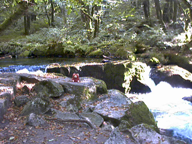
The Falls are near the edge of the granite of Bodmin Moor, beyond which it falls away to slate country. The River Fowey descends through a wooded granite gorge, most of which is now a National Nature Reserve. Here evening sunlight is reaching the cascade through the surrounding beech trees.
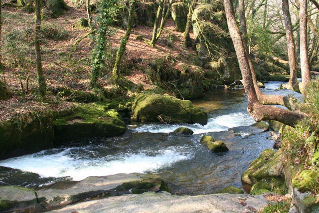
Looking west down the river. The area has a long history, with remnants of tin mining visible near the falls. Old leats and ruined buildings hint at the industry that once shaped the landscape, though nature has largely reclaimed the site. Today, Golitha Falls is a designated National Nature Reserve, valued for its biodiversity and scenic beauty. The walk through the woods is relatively easy, with well-marked trails, though the rocky paths near the cascades can be slippery.
Tree lined footpath near the car park. This will lead you to the falls. The oak-dominated woodland is part of Draynes Wood, with moss-covered boulders, twisted tree roots, and ferns creating a lush, temperate rainforest-like environment. Bluebells and wood anemones carpet the forest floor in spring, while fungi such as fly agaric and candle snuff emerge in autumn. The riverbanks support moisture-loving plants like opposite-leaved golden saxifrage and marsh marigold.


