Grasmere to Elterwater Walk
![]()
![]() This walk visits the village of Elterwater and its lake from Grasmere. It's a moderate 3 mile walk, climbing over the fells which separate the two villages.
This walk visits the village of Elterwater and its lake from Grasmere. It's a moderate 3 mile walk, climbing over the fells which separate the two villages.
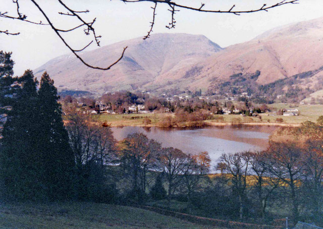
Starting in the village the route follows Red Bank Road around the western part of the lake. At the Wyke you pick up a footpath on your right to climb through a woodland section to Huntingstile Crag. There's lovely views here back down to Grasmere Lake and red squirrels to look out for in the woods.
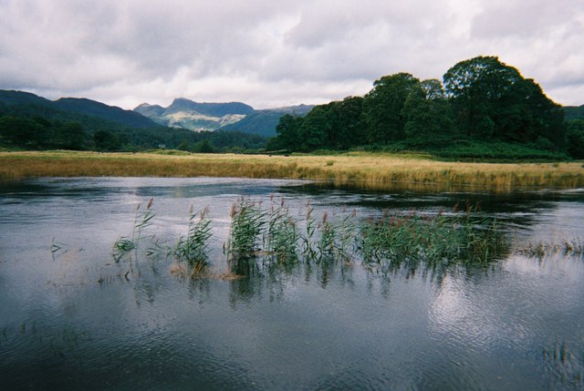
The walk then descends to the village of Elterwater where you could stop for refreshments at the large pub where there's outdoor seating with nice fell views. In the village you pick up a section of the Cumbria Way long distance footpath to take you east along the Great Langdale Beck. The waterside trail leads you through a pocket of woodland before coming out at Elterwater Lake where there's a nice seating area with views across the water.
You can extend the walk by continuing along the River Brathay to Skelwith Bridge where you will pass the impressive Skelwith Force waterfall.
Grasmere to Elterwater Ordnance Survey Map  - view and print off detailed OS map
Grasmere to Elterwater Open Street Map  - view and print off detailed map
Grasmere to Elterwater OS Map  - Mobile GPS OS Map with Location tracking
Grasmere to Elterwater Open Street Map  - Mobile GPS Map with Location tracking
Pubs/Cafes
In Grasmere we recommend a visit to Tweedies for some refreshments. This friendly pub has a very large beer garden with plenty of tables. It's a nice place to sit out and relax in after a long walk. You can find it in the village, near the lake, at a postcode of LA22 9SW for your sat navs.
At the other end of the route you will find the Britannia Inn in Elterwater. There's a cosy open fire for winter days and a nice beer garden for fine summer days. The noteworthy pub has an interesting history as it was built approximately 500 years ago as a gentleman's farm house and then converted to an Inn sometime during the 19th century. It's located in a very spot in the little village with a postcode of LA22 9HP.
Cycle Routes and Walking Routes Nearby
Photos
River Brathay and the Langdale Pikes


