Gritstone Trail OS Map and GPX
![]()
![]() This beautiful, challenging walk runs through the Peak District from Disley to Kidsgrove.
This beautiful, challenging walk runs through the Peak District from Disley to Kidsgrove.
The walk begins at the train station at Disley and soon comes to the wonderful Lyme Park (video below) with its mansion house and Medieval deer park. You continue south passing the town of Bollington before climbing to the unusual structure of White Nancy and crossing the Saddle of Kerridge. From the elevated position above Bollington you can enjoy splendid views across the Cheshire Plain, the mountains of North Wales to the west, the hills of Shropshire to the south and the Pennines to the north and east. The route continues to the lovely Tegg's Nose Country Park via Tower Hill. The views are truly dramatic from this former quarry site, including Shutlingsloe, the second highest point in Cheshire.
The next section takes you on towards Rushton Bank before climbing the Bosley Cloud - at 1,125 ft it's a challenging section but the views of Congleton, Macclesfield and Greater Manchester are magnificent.
The path continues to Mow Cop with its ruined castle, before you join the Macclesfield Canal and then the Trent and Mersey Canal taking you to Kidsgrove.
See the link below for the OS Map and scroll down to the bottom for the full GPX file for the route.
Please click here for more information
Gritstone Trail Ordnance Survey Map  - view and print off detailed OS map
Gritstone Trail Open Street Map  - view and print off detailed map
Gritstone Trail OS Map  - Mobile GPS OS Map with Location tracking
Gritstone Trail Open Street Map  - Mobile GPS Map with Location tracking
Pubs/Cafes
On the walk you can stop for refreshments at the excellent Leather's Smithy near Langley. This fine pub is located next to Ridgegate Reservoir, just to the east of Bottoms Reservoir in Tegg's Nose Country Park. There's a great selection of ales and a nice beer garden to relax in when the weather is good. You can find the pub on Clarke Ln, at the north western tip of Ridgegate Reservoir, just slightly off the trail. Postcode is SK11 0NE.
In Lyme Park there's a fine cafe with seats next to the pretty lake. They do a good range of meals and snacks which you can enjoy with a fine view.
Just to the east of White Nancy you will find the Bulls Head in the hamlet of Kerridge. The pub dates from the 17th century and has a lovely cosy interior to relax in after your exercise. It's nice outside too with a patio area and a garden both with great views. In the paddocks attached to the pub you will usually find pigs and sheep looked after by the landlord. It's a friendly place with a good menu and selection of ales. You'll probably see plenty of other walkers in there too on a fine day. You can find the pub at the foot of the hill on 2 Oak Lane with a postcode of SK10 5BD for your sat navs.
At the start/end of the route there's a few good options in the village of Disley. Firstly there's The White Lion which is notable for its excellent selection of real ales and some delicious home made pies. You can find them at postcode SK12 2HA for your sat navs. There's also the noteworthy Rams Head Inn. This historic building was built by the Legh family in c.1640, though the current exterior was built around 1840. It was formerly a lodge belonging to the Lyme Park estate. They have a lovely garden area where you can sit outside on warmer days. The pub can be found at postcode SK12 2AE.
In Rainow there's the Robin Hood. The pub has a large car park and a fine outdoor decking area with splendid views towards White Nancy and other Peak District hills.
The quaint old inn also serves fine food with a good tapas selection on the menu.
You can find them at Chapel Brow with postcode SK10 5XE for your sat navs.
Further Information and Other Local Ideas
One of the highlights on the walk is the fantastic Lyme Park. The expansive park has miles of cycling and walking trails with woodland, ponds and deer to look out for on the way. The trail passes right through the park and past the historic house with its beautiful gardens and orangery.
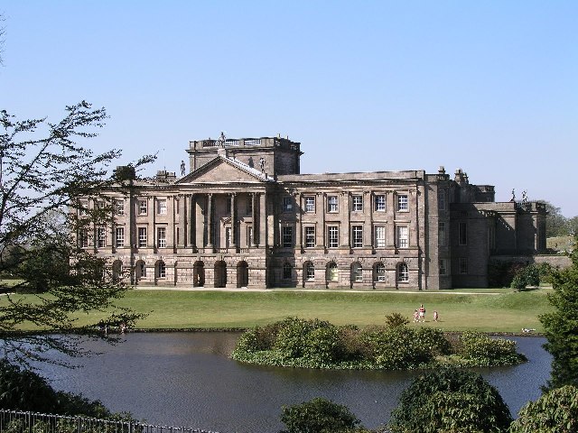

Pictured above, the splendid Lyme Park. The National Trust owned park is a major highlight of the area. You can enjoy fine views towards Manchester from the high points here.
Also of interest is the climb to White Nancy overlooking Bollington. Here you will find an unusual folly in the shape of a small domed sugar loaf and thought to have been built in 1817 by Colonel Gaskell as a monument to the Battle of Waterloo.
Cycle Routes and Walking Routes Nearby
Photos
The Gritstone Trail signs. The Long Distance Footpath skirts the Mow Cop Castle mound and leads down to the car park before heading north east.
The trail passes through a variety of landscapes that support a diverse range of flora and fauna. The moorlands are dominated by heather, which turns a deep purple in late summer, and bilberry shrubs that provide food for birds and small mammals. Mosses and lichens cling to the gritstone edges, thriving in the exposed, windswept conditions. In the lower woodlands, ancient oak, birch, and rowan trees provide shelter for wildlife, while the ground is carpeted with ferns, bluebells, and wild garlic in spring.
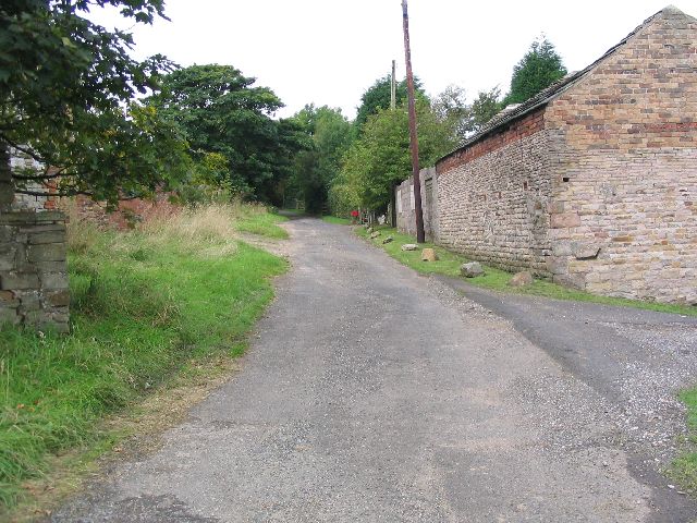
Stile on the Gritstone Trail. View south east along the trail near Buxton Old Road and the Tegg's Nose viewpoint.
Woodlands are home to deer, badgers, and foxes, while red grouse and curlew can often be heard calling across the open moors. Raptors such as kestrels, buzzards, and occasionally peregrine falcons patrol the skies, taking advantage of the high vantage points offered by the gritstone escarpments. The rivers and streams along the trail provide a habitat for dippers and kingfishers, which can be seen darting along the water’s edge in search of food.
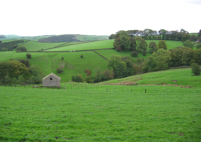
Farmland on the Gritstone Trail. Rolling pastureland around the Gritstone Trail. View from the junction of Buxton New Road and the lane to Rainow. Hordern Farm (in SJ9574) is out of frame on the right
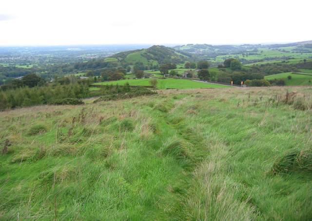
Gritstone Trail descending Brink hill. The trail here is a faint depression in rough grass. Buxton New Road runs along the valley. The distant ridge is probably Tower Hill. The young conifer plantation (left of frame) is not marked on the OS map.
Beyond its rich natural heritage, the Gritstone Trail is known for its spectacular views, especially from landmarks such as Kerridge Hill, White Nancy, and The Cloud, which offer panoramic vistas across the Cheshire Plain. The trail also passes through historic villages and market towns where remnants of the area’s industrial past, including old quarries and mill ruins, can still be seen. The gritstone formations themselves, shaped by centuries of weathering, add to the dramatic scenery and serve as a reminder of the geological history of the region.
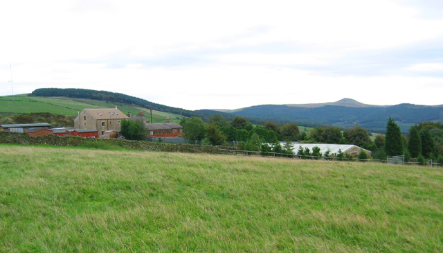
Shutlingsloe view from the trail. This sloping cattle pasture lies on the trail just north of the Buxton Old Road, near the Tegg's Nose visitor centre. The buildings in the foreground are dog kennels; Windyway House is hidden in the trees. The distinctive profile of Shutlingsloe can be seen on the right
Elevation Profile


