Disley Walks
![]()
![]() This Cheshire based village is in a excellent position in the Goyt Valley on the edge of the Peak District. Several waymarked trails run through the village making it a popular choice for starting a walk.
This Cheshire based village is in a excellent position in the Goyt Valley on the edge of the Peak District. Several waymarked trails run through the village making it a popular choice for starting a walk.
This circular walk from the village explores the expansive Lyme Park before heading to the Macclesfield Canal.
The walk starts from Disley train station which you can reach from Manchester and Stockport. From here you can pick up the Gritstone Trail and follow it south east to Lyme Park, passing Bollinshurt Reservoir on the way. The route then heads south west across the park towards the house and the visitor centre. There's splendid views of the Peak District hills and the grand Lyme Hall as you make your way across the park. From the visitor centre you pick up trails heading west past the Knott to the canal. Follow the towpath north and it will meet with the Ladybrook Valley Interest Trail near Middlewood. You can follow this waymarked trail east to return to Disley village and the train station.
Disley Ordnance Survey Map  - view and print off detailed OS map
Disley Open Street Map  - view and print off detailed map
Disley OS Map  - Mobile GPS OS Map with Location tracking
Disley Open Street Map  - Mobile GPS Map with Location tracking
Pubs/Cafes
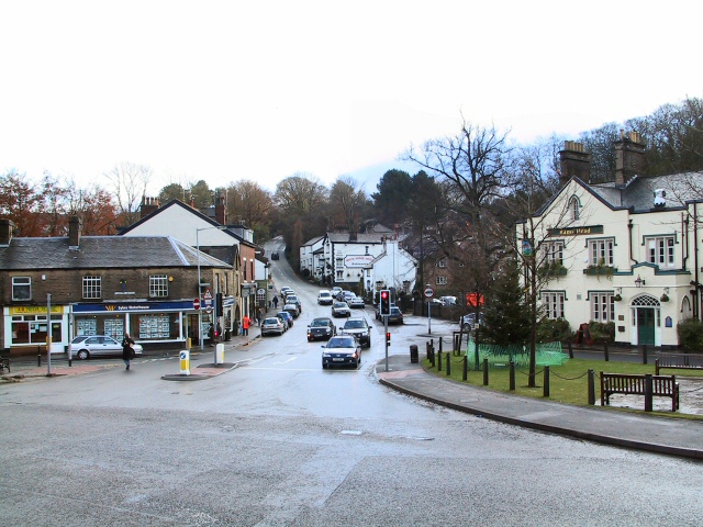
Back in Disley The White Lion is a good choice. They have an excellent selection of real ales and some delicious home made pies to try. You can find them at postcode SK12 2HA for your sat navs. There's also the noteworthy Rams Head Inn. This historic building was built by the Legh family in c.1640, though the current exterior was built around 1840. It was formerly a lodge belonging to the Lyme Park estate. They have a lovely garden area where you can sit outside on warmer days. They can be found at postcode SK12 2AE.
In Lyme Park you can also stop off at the on site cafe for some refreshments. There's a nice outdoor seating area here next to the pond.
Dog Walking
The park, woods and canal make for an excellent walk for fit dogs. The White Lion and Rams Head Inn are also dog friendly.
Further Information and Other Local Ideas
Just to the west of the canal you can pick up the Middlewood Way. This shared cycling and walking trail runs along a disused railway line between Macclesfield and Marple.
To the north there's the more waterside walking along the Peak Forest Canal. Here you can also pick up the Cown Edge Way and walk up to the photogenic rock formation. The town of New Mills is also nearby and is a popular start point for several walks. This includes the hugely popular Sett Valley Trail which runs along a disused railway line to Hayfield.
The epic North Cheshire Way also starts/finishes in the village. The long distance trail explores the county, visiting some of the walking highlights on the way.
Just to the north there's the climb to the Mellor Cross to try. The religous cross marks the site where Methodist John Wesley preached during the 18th century. There are fine views from the elevated position of the site. Near is also the pretty little hamlet of Rowarth. Here you will find the Little Mill Inn, a delightful Grade II listed inn set in a former candlewick mill, with a waterwheel in the adjacent stream. The historic mill is well known locally and includes an outdoor area with ducks and geese on the river, chickens roaming free and rabbits in a large outdoor pen. Our walk from the village climbs to the geologically fascinating Cown Edge Rocks and Robin Hood's Picking Rods.
For more walking ideas in the area see the Cheshire Walks page.


