Hawkridge Reservoir
![]()
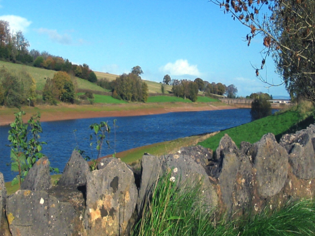
![]() Enjoy a circular walk around this pretty reservoir in the Quantock Hills area of Somerset. There's nice footpaths climbing above the reservoir, with lovely views across the water to the surrounding countryside and woodland.
Enjoy a circular walk around this pretty reservoir in the Quantock Hills area of Somerset. There's nice footpaths climbing above the reservoir, with lovely views across the water to the surrounding countryside and woodland.
You can start your walk from the roadside parking area on Lawyer's Hill. Then follow the road and public footpaths towards Ebsley Cottage at the eastern end of the water. The path then climbs towards Littledown with nice views back down to the reservoir.
To extend your walking in the area, head west to the Great Wood where you will find miles of waymarked cycling and walking trails.
On the south western fringe of Great Wood you will find Wills Neck, the highest point in the Quantock Hills.
Postcode
TA5 1AL - Please note: Postcode may be approximate for some rural locationsHawkridge Reservoir Ordnance Survey Map  - view and print off detailed OS map
Hawkridge Reservoir Open Street Map  - view and print off detailed map
Hawkridge Reservoir OS Map  - Mobile GPS OS Map with Location tracking
Hawkridge Reservoir Open Street Map  - Mobile GPS Map with Location tracking
Explore the Area with Google Street View 
Dog Walking
The reservoir and surrounding woodland make for a pleasant dog walk.
Further Information and Other Local Ideas
Near the site you'll find the worthy village of Crowcombe where you can enjoy the circular walk to Black Hill, Bicknoller Hill and the 15th century Halsway Manor. The village additionally includes a fine 17th century pub with a lovely large garden and views to the Brendon Hills.
Just to the west is Aisholt where there's an old church and some woodland trails around Aisholt Wood. To the east Peart Water leads into the small village of Spaxton and then on to Ashford Reservoir.
Cycle Routes and Walking Routes Nearby
Photos
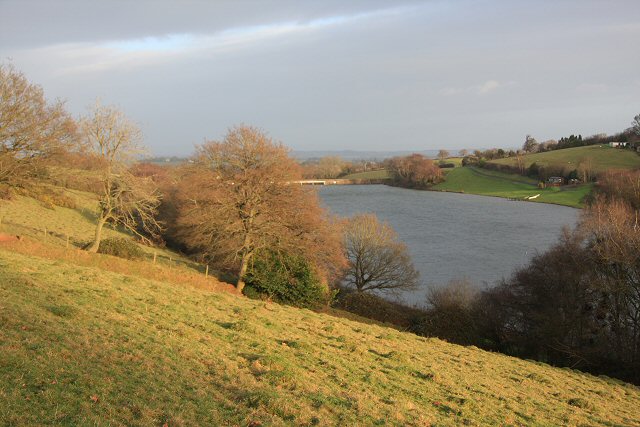
A winter view across the dam. The site is used for angling with catches including Rainbow Trout. It is also good for wildlife spotting with various wildfowl to see on the water.


