High Vinnalls Ludlow Walk with OS Map
![]()
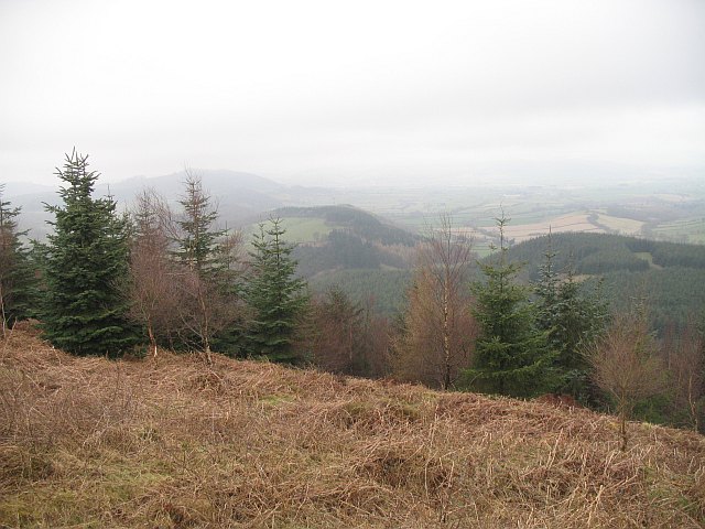
![]() Climb to this wonderful viewpoint on this circular walk in Mortimer Forest in Ludlow. It's a challenging climb with the High Vinnalls viewpoint reaching a height of over 1200ft. From the high points there are fabulous panoramic views over the surrounding Herefordshire countryside.
Climb to this wonderful viewpoint on this circular walk in Mortimer Forest in Ludlow. It's a challenging climb with the High Vinnalls viewpoint reaching a height of over 1200ft. From the high points there are fabulous panoramic views over the surrounding Herefordshire countryside.
This walk uses part of the Mortimer Trail long distance footpath. It starts at the High Vinnalls car park but you could start from Ludlow and follow the Mortimer Trail through the Mary Knoll Valley to reach the hill. To extend your walk you could follow the trail south to Croft Ambrey Hill Fort and woods.
You'll also find the magnificent Croft Castle surrounded by 1500 acres of parkland, farmland and woods. Just to the east of the hill you will also find Overton Common and a deer park.
The Climbing Jack Trail is a circular walk through the forest which climbs to High Vinnalls.
Postcode
SY8 2HF - Please note: Postcode may be approximate for some rural locationsHigh Vinnalls Ordnance Survey Map  - view and print off detailed OS map
High Vinnalls Open Street Map  - view and print off detailed map
*New* - Walks and Cycle Routes Near Me Map - Waymarked Routes and Mountain Bike Trails>>
High Vinnalls OS Map  - Mobile GPS OS Map with Location tracking
High Vinnalls Open Street Map  - Mobile GPS Map with Location tracking
Further Information and Other Local Ideas
Just a few miles to the west there's the worthy village of Leintwardine to visit. There's some nice river trails along the Teme and the Clun which converge at the former Roman settlement. There's also a historic ancient bridge and two fine old pubs to investigate afterwards. Near here there's also the noteworthy Downton Gorge. The limestone gorge is located on the River Teme and contains some nice woodland trails with interesting rock formations and a variety of flora and fauna.
Just to the north west of the car park there's Bringewood. Here you can access a number of decent red and black mountain bike trails which have been used for the National Championships.
For more walking ideas in the area see the Herefordshire Walks page.
Cycle Routes and Walking Routes Nearby
Photos
High Vinnalls summit. 375m summit, the highest part of the great limestone ridge running from the Severn at Ironbridge well into Radnorshire. The hut on stilts was a radio relay, it appeared in the late 1970s and was once usable as a bothy.


