Hollands Wood
![]()
![]() This walk visits the Hollands Wood and Ramnor Inclosure sections of the New Forest.
This walk visits the Hollands Wood and Ramnor Inclosure sections of the New Forest.
The area is located just north of the popular town of Brockenhurst where there are good rail connections. There's a popular campsite here and a decent bridle track that can also be used for cycling. This will lead you towards the adjacent Ramnor Inclosure.
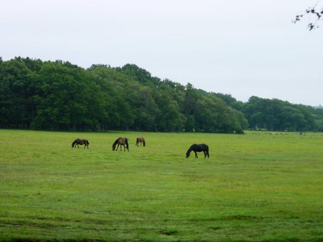
You can extend the walk at the nearby Standing Hat and Balmer Lawn where there's more pleasant trails and grazing ponies to see.
Postcode
SO42 7QH - Please note: Postcode may be approximate for some rural locationsPlease click here for more information
Hollands Wood Ordnance Survey Map  - view and print off detailed OS map
Hollands Wood Open Street Map  - view and print off detailed map
Hollands Wood OS Map  - Mobile GPS OS Map with Location tracking
Hollands Wood Open Street Map  - Mobile GPS Map with Location tracking
Further Information and Other Local Ideas
The peaceful waterside trails along Ober Water and the popular Blackwater Arboretum Trail are located near the site.
Cycle Routes and Walking Routes Nearby
Photos
Northern end of Hollands Wood camp site, New Forest. The camp site is easy to get to, as it lies immediately to the east of the A337 between Lyndhurst and Brockenhurst, but for those trying to 'get away from it all' the noise of the busy road must be quite distracting. It is also sited on wet grassland, adjacent to Balmer Lawn: very pretty, but the ground doesn't drain too well! The wooden posts in the foreground (dragons teeth) are found all over the Forest, and are intended to limit vehicular access. The Forestry Commission has recently outlined plans to reduce the size of this campsite, moving this northern boundary further south.
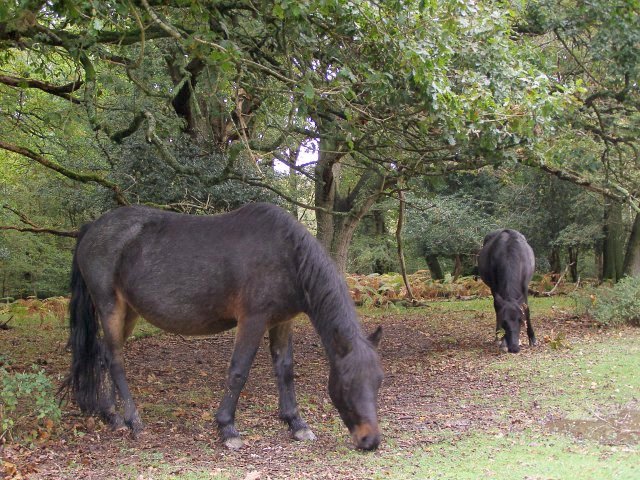
Acorn-eating ponies in Hollands Wood. These ponies were slowly making their way along the edge of Ramnor Inclosure, scrunching up the plentiful acorns that have been falling from the oaks of Hollands Wood. Gorging on acorns can make ponies very sick - possibly resulting in death - and this is one of the practical reasons for the "pannage" season when commoners release pigs into the forest. Pigs can eat large quantities of acorns without being poisoned, although the number of swine required to clean up the billions of acorns shed each autumn would be enormous.
Timber stack at a meeting of tracks in the Ramnor Inclosure. The Ramnor Inlclosure, to the east of Hollands Wood, contains a mixture of hard and softwoods. At this meeting place of five tracks and paths the timber from recent tree thinning has been stacked.
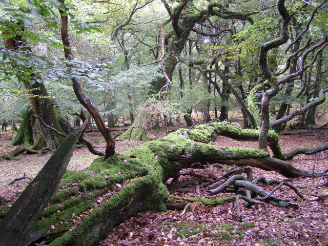
Fallen beech tree in Hollands Wood. The open woodland to the east of the A337 road contains a lot of fallen and decaying beech and oak wood, and Forestry Commission policy is now to leave the wood where it falls. This decaying beech is covered with ferns and moss, and is a rich habitat for fungi and insects - particularly beetles.


