Hornchurch Country Park
![]()
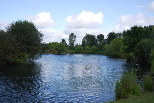
![]() Enjoy a walk or cycle through this large country park in Havering in the Ingrebourne Valley. Features in the park include the River Ingrebourne, grassland, a fishing lake and woodland paths. The park is also a Local Nature Reserve with marshes containing the largest freshwater reed bed in London. As such it is a great area for birdwatching and wildlife spotting.
Enjoy a walk or cycle through this large country park in Havering in the Ingrebourne Valley. Features in the park include the River Ingrebourne, grassland, a fishing lake and woodland paths. The park is also a Local Nature Reserve with marshes containing the largest freshwater reed bed in London. As such it is a great area for birdwatching and wildlife spotting.
The park is also the site of the former RAF Hornchurch base which was used in the First and Second World Wars. As such there are some historical features including an aircraft dispersal bay, pillboxes, and Tett turrets.
The Ingrebourne Valley walking and cycle route runs through the park so you could pick this up and head towards Rainham or Upminster to continue your outing.
Just to the east there's also the noteworthy Belhus Woods Country Park where you'll find lakes, wildflower meadows and bluebell woodland.
Postcode
RM13 7YH - Please note: Postcode may be approximate for some rural locationsHornchurch Country Park Ordnance Survey Map  - view and print off detailed OS map
Hornchurch Country Park Open Street Map  - view and print off detailed map
Hornchurch Country Park OS Map  - Mobile GPS OS Map with Location tracking
Hornchurch Country Park Open Street Map  - Mobile GPS Map with Location tracking
Pubs/Cafes
There's good facilities in the park with free parking and an on site cafe at the Ingrebourne Valley Visitor Centre. There's a lot of information here and a small museum too.
Dog Walking
The park is a popular place for dog walkers so you'll probably see other owners on a fine day.
Further Information and Other Local Ideas
The Upminster Circular Walk visits the park from the town's train/tube station. It follows the London Loop to the site passing through the Ingrebourne Valley on the way. It's a nice way to visit the site if you're coming by public transport with the Upmninster tube on the District Line. If you continue along the London Loop south it will take you to Rainham and then onto the River Thames at Rainham Marshes.
Just a couple of miles to the west you'll find Eastbrookend Country Park in Dagenham. The park has a number of prfetty lakes and good wildlife spotting opportunities in the adjacent Chase Nature Reserve.
For more walking ideas in the area see the London Walks page.
Cycle Routes and Walking Routes Nearby
Photos
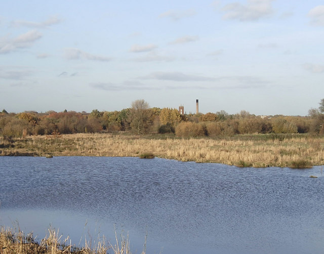
Flooded gravel pit in the park. The Country Park is on the site of the former Hornchurch Aerodrome which having played an important role in both World Wars, closed in 1962. The area was then used in the 1970s for sand and gravel extraction. Work on the creation of the Country Park began in 1980. The buildings on the horizon are at St George's Hospital, Hornchurch.


