Rainham Marshes Walks and Cycling
![]()
![]() This circular walk or cycle explores the RSPB Rainham Marshes Nature Reserve in London.
This circular walk or cycle explores the RSPB Rainham Marshes Nature Reserve in London.
It's an easy route using part of National Cycle Route 13 and other signed trails.
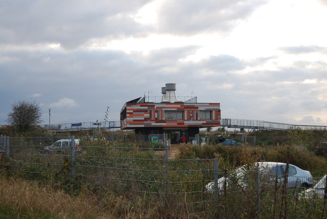
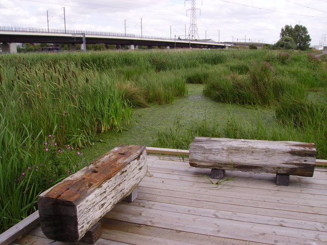
The route runs mostly along a riverside path by the River Thames from Purfleet to Rainham and a trail through the centre of the reserve. The reserve has a variety of regular winged visitors, including peregrines, lapwings and wild ducks. There are also water voles and rare dragonflies to be seen across the boardwalks. Also take time to explore the visitor centre which has a wealth of information about the area.
This route is easily accesible with train stations at either end at Purfleet and Rainham. You can also hire bikes at the reserve.
Postcode
RM19 1SZ - Please note: Postcode may be approximate for some rural locationsPlease click here for more information
Rainham Marshes Ordnance Survey Map  - view and print off detailed OS map
Rainham Marshes Open Street Map  - view and print off detailed map
Rainham Marshes OS Map  - Mobile GPS OS Map with Location tracking
Rainham Marshes Open Street Map  - Mobile GPS Map with Location tracking
Further Information and Other Local Ideas
Part of this route uses a section of the long distance London Loop. You could follow the waymarked path north to visit Hornchurch Country Park, the Ingrebourne Valley and the nearby town of Upminster. Just east of Hornchurch there's also the noteworthy Belhus Woods Country Park where you'll find lakes, wildflower meadows and bluebell woodland.
For more walking ideas in the area see the London Walks page.
Cycle Routes and Walking Routes Nearby
Photos
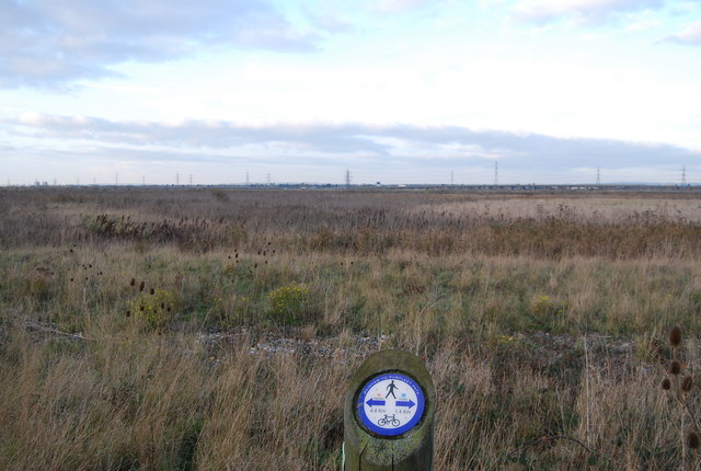
Looking west towards Hornchurch. The wind turbines in the background are in TQ5081, on the Hornchurch Marshes


