Horsham Riverside Walk
![]()
![]() This popular circular walk around Horsham includes some lovely waterside trails and fine scenery. The waymarked route runs for about 12 miles, visiting some of the nature reserves, waterways and woodland surrounding the town. It's a fairly flat route but with some moderate climbs on the eastern section toward Roffey Park.
This popular circular walk around Horsham includes some lovely waterside trails and fine scenery. The waymarked route runs for about 12 miles, visiting some of the nature reserves, waterways and woodland surrounding the town. It's a fairly flat route but with some moderate climbs on the eastern section toward Roffey Park.
The walk starts from the car park at the pretty Warnham Nature Reserve on the western fringes of the town. It's a lovely place for a stroll with a large mill pond, marshes, grassland, reed beds, hedges and woodlands. There's also lots of wildlife to see with a thriving Heronry, wildfowl, kingfishers and all three species of Woodpecker.
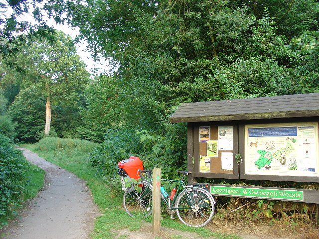
From the reserve you follow roads south east and then north to meet with the Chennells Brook at Pondtail Bridge. You then follow a path east along the brook before heading into the countryside at Owlcastle Farm. Footpaths then take you up to Roffey Park and then onto the woodland trails in High Wood and Owlbeech Wood. Here you follow paths along the Horn Brook to Leechpool Woods with attractive woodland and ponds to see. The woods are very pretty with several waymarked trails, a sculpture trails and lots of wildlife to see.
After passing south through the woods you meet up with the River Arun around Chesworth House. This former Tudor manor house is a Grade II listed building, so designated on account of its architectural interest and its historical association with three queens of England. This section also passes the Huxley Birds of Prey Centre. This attraction features falcon & owl flying demonstrations & hands-on visitor encounters. It's also a good area to stop for refreshments at the Hornbrook Inn. This rustic pub has a good menu, beamed ceilings, wood panelling, stone floors and a beer garden to relax in.
The next section follows the River Arun west toward Highwood. Here you join with the Red River which you follow north back to the finish point at Warnham.
To continue your walking around the town you could try the Horsham Circular Walk which uses part of the High Weald Landscape Trail to explore the town. If you head east along the trail you will soon reach St Leonard's Forest which has miles of good trails, attractive pine woodland, pretty streams and the Whitevane Pond at the north western end of the forest.
Postcode
RH12 2RA - Please note: Postcode may be approximate for some rural locationsHorsham Riverside Walk Ordnance Survey Map  - view and print off detailed OS map
Horsham Riverside Walk Open Street Map  - view and print off detailed map
Horsham Riverside Walk OS Map  - Mobile GPS OS Map with Location tracking
Horsham Riverside Walk Open Street Map  - Mobile GPS Map with Location tracking
Pubs/Cafes
The Hornbrook Inn is located just to the south of Horsham town centre on the riverside walk. This rustic pub has a good menu, beamed ceilings, wood panelling, stone floors and a beer garden to relax in. It's located next to Huxley Birds of Prey Centre which is a good option for a day out. This attraction features falcon & owl flying demonstrations & hands-on visitor encounters.


