Houghton Forest Walks and MTB Trails Map
![]()
![]() These woods near Arundel have good mountain bike trails and some nice footpaths to try. You can park at the Whiteways Countryside car park, just off the A29 at the south eastern end of the forest. From here you can pick up the trails heading north west through the woods. You could also follow either the Monarch's Way or South Downs Way from the village of Houghton. You can also extend your walking in the area by continuing along either of these long distance trails or the Midhurst Way which also passes through the forest.
These woods near Arundel have good mountain bike trails and some nice footpaths to try. You can park at the Whiteways Countryside car park, just off the A29 at the south eastern end of the forest. From here you can pick up the trails heading north west through the woods. You could also follow either the Monarch's Way or South Downs Way from the village of Houghton. You can also extend your walking in the area by continuing along either of these long distance trails or the Midhurst Way which also passes through the forest.
Postcode
BN18 9FD - Please note: Postcode may be approximate for some rural locationsHoughton Forest Ordnance Survey Map  - view and print off detailed OS map
Houghton Forest Open Street Map  - view and print off detailed map
*New* - Walks and Cycle Routes Near Me Map - Waymarked Routes and Mountain Bike Trails>>
Houghton Forest OS Map  - Mobile GPS OS Map with Location tracking
Houghton Forest Open Street Map  - Mobile GPS Map with Location tracking
Pubs/Cafes
On the eastern side of the woods there's Houghton village where you could pay a visit to the George & Dragon pub. The ancient pub is one of the oldest in Sussex dating all the way back to the 13th century.
It proudly boasts that King Charles II stopped here in 1651 when fleeing the country after his defeat at the Battle of Worcester.
The pub serves good quality food and includes a lovely garden area with views of the Sussex Downs.
You can find them at Houghton Bridge with a postcode of BN18 9LW for your sat navs.
In Arundel head to the St Mary’s Gate Inn. The pub has a fascinating history having been built in the 26th year of the reign of Henry VIII in 1525. The two other letting rooms which have been part of the building since the 16th century housed Oliver Cromwell and his guardsmen during the mid-1600. The pub has a great menu, good selection of ales and a cosy log fire. You can find it near the castle on London Rd at Postcode BN18 9BA.
The Red Lion on the High Street is another great option. This one dates back to the 18th century and includes a large beer garden to relax in. You can find it at postcode BN18 9AG.
Cycle Routes and Walking Routes Nearby
Photos
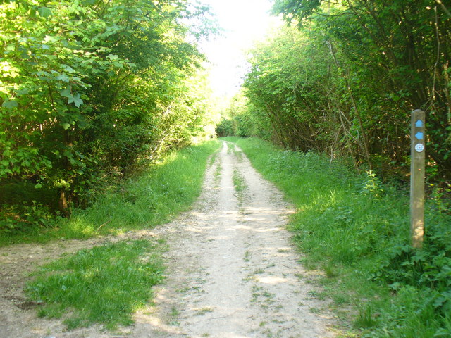
The Denture, Monarch's Way. Towards Bignor Hill.


