Kenfig Pool Walk
![]()
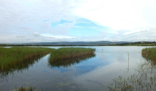
![]() A lovely coastal walk around this national nature reserve near Porthcawl, Bridgend. The site includes expansive sand dunes and the Kenfig Pool, Glamorgan's largest lake. It's a great place for wildlife with many water loving birds visiting the lake. Look out for Golden Plovers, Tufted Duck and Gadwalls from the bird hides positioned around the water.
A lovely coastal walk around this national nature reserve near Porthcawl, Bridgend. The site includes expansive sand dunes and the Kenfig Pool, Glamorgan's largest lake. It's a great place for wildlife with many water loving birds visiting the lake. Look out for Golden Plovers, Tufted Duck and Gadwalls from the bird hides positioned around the water.
The handy visitor centre has lots of information on the flora and fauna you can expect to see on your walk. This includes pretty wildflowers such as Pyramidal Orchid and Early Marsh-orchid.
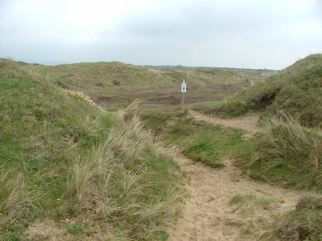
The walk starts at the car park and visitor centre. From here you can pick up sandy paths taking you past the pool to Kenfig Sands by the sea. There's great views across Swansea Bay, the Gower, Margam Sands and down to the Port Talbot industrial area.
More trails then take you from the beach across Kenfig Burrows, returning to the pool and the car park.
To extend your walking in the area you could pick up the Wales Coast Path and try our Porthcawl Coastal Walk. This will take you to the Merthyr Mawr Nature Reserve where you can climb the 'Big Dipper', the highest sand dune in Wales.
Just to the north of the reserve you will find Margam Country Park. The park includes the magnificent Margam Castle, an 18th Century Orangery with ornamental gardens and a Deer Park, all set within 1000 acres of beautiful countryside. Just north of the park there's the unusual Brombil Reservoir. The picturesque turquiose coloured lake is a lovely place for a peaceful stroll.
Postcode
CF33 4PT - Please note: Postcode may be approximate for some rural locationsKenfig Pool Walk Ordnance Survey Map  - view and print off detailed OS map
Kenfig Pool Walk Open Street Map  - view and print off detailed map
*New* - Walks and Cycle Routes Near Me Map - Waymarked Routes and Mountain Bike Trails>>
Kenfig Pool Walk OS Map  - Mobile GPS OS Map with Location tracking
Kenfig Pool Walk Open Street Map  - Mobile GPS Map with Location tracking
Further Information and Other Local Ideas
To continue your walking in the area you could pick up the Bridgend Circular Walk which runs through nearby Merthyr Mawr. The long distance trail is a great way to explore the lovely countryside surrounding Bridgend. It explores the area around the town, passing close to Bryngarw Country Park at the northern tip. There's great walking trails here taking you to woodland, gardens, and an ornamental lake. Here you can also pick up the Garw Valley Railway Path. The shared cycling and walking path starts in the park and heads north along a disused railway line to Blaengarw alond the River Garw.
Just to the south there's the lovely Rest Bay where there's a fine beach and circular walk to try.


