Gold Valley Lakeside Nature Reserve
![]()
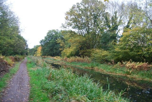
![]() A short walk around the peaceful Lakeside Nature Reserve in Aldershot. The reserve is a complex of wet habitats including river, ponds, lakes, reed beds, orchid meadow and wet woodland. The site includes the Basingstoke Canal Walk and Gold Valley Lakes.
A short walk around the peaceful Lakeside Nature Reserve in Aldershot. The reserve is a complex of wet habitats including river, ponds, lakes, reed beds, orchid meadow and wet woodland. The site includes the Basingstoke Canal Walk and Gold Valley Lakes.
The lakes include a great cafe and are a very popular place for fishing (see video below for more details).
The park is also good for spotting wetland birds and includes a car park and a play area with a popular zip wire for children.
Postcode
GU12 5AA - Please note: Postcode may be approximate for some rural locationsGold Valley Lakeside Nature Reserve Ordnance Survey Map  - view and print off detailed OS map
Gold Valley Lakeside Nature Reserve Open Street Map  - view and print off detailed map
Gold Valley Lakeside Nature Reserve OS Map  - Mobile GPS OS Map with Location tracking
Gold Valley Lakeside Nature Reserve Open Street Map  - Mobile GPS Map with Location tracking
Pubs/Cafes
The Lake House cafe is located next to the Gold Valley Lakes on the western side of the site. They serve a fine afternoon tea which you can enjoy with a lovely view of the lakes.
Dog Walking
The park is a popular place for dog walkers so you'll probably see other owners on your visit.
Further Information and Other Local Ideas
Head north to Farnborough and you can enjoy more lakeside trails at the Frimley Hatches nature reserve.
To the south west there's the Rowhill Nature Reserve where there's some peaceful woodland trails and lots more wildlife.
Cycle Routes and Walking Routes Nearby
Photos
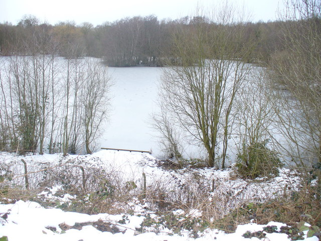
Lakeside Park in winter. Large lake to the north of the Basingstoke Canal. It is one of many similar lakes in the Blackwater Valley - it is used by anglers.
Blackwater River. This narrow and insignificant-looking river forms the county boundary here - between Hampshire (to left) and Surrey (to right). The valley has many lakes and ponds along its length and it is also followed by the modern A331 Blackwater Valley Road between Aldershot and Farnborough. Photograph was taken from the Basingstoke Canal Aqueduct, a modern reconstruction, across the river valley.
