Loch Thom
![]()
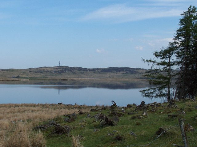
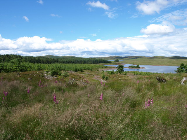
![]() Enjoy a circular walk around this lovely loch in the Clyde Muirshiel Regional Park. The route runs for a distance of about 5.5 miles with fine views across the water to the surrounding hills and countryside.
Enjoy a circular walk around this lovely loch in the Clyde Muirshiel Regional Park. The route runs for a distance of about 5.5 miles with fine views across the water to the surrounding hills and countryside.
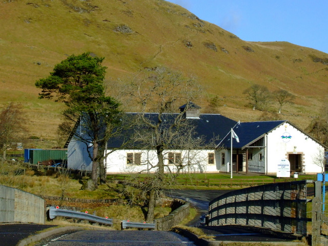
Start the walk from the Greenock Cut Visitor Centre and car park on the eastern side of the water. The centre provides lots of useful information on all the walks in the area. It's also located very close to the lovely Greenock Cut Waterfall pictured below.
From the car park head north to Loch Thom cottage and then east. On the eastern side of the water there is some nice woodland and the adjacent Gryfe Reservoir. Country lanes then take you around the southern side of the water before returning to the car park.
To continue your walking in the area try the Greenock Cut circular walk which branches off to the west from the visitor centre. The Kelly Cut Walk can also be picked up here.
If you head west from the loch you can visit the coastal section of the park. Here there are fine views of the South Clyde estuary and Lunderston Bay.
Postcode
PA16 9LX - Please note: Postcode may be approximate for some rural locationsLoch Thom Ordnance Survey Map  - view and print off detailed OS map
Loch Thom Open Street Map  - view and print off detailed map
Loch Thom OS Map  - Mobile GPS OS Map with Location tracking
Loch Thom Open Street Map  - Mobile GPS Map with Location tracking
Pubs/Cafes
The visitor centre has a nice cafe where you can enjoy refreshments after your walk. It opens on weekends during the summer months.
Cycle Routes and Walking Routes Nearby
Photos
Dunrod Hill and Loch Thom. The three peaks are (left to right) Dunrod Hill, East Hill and Hillside Hill. The hills in the far distance to the left are across the Clyde, behind Dunoon.
Loch Thom extends in the distance to the left of the photograph while Compensation Reservoir can also be seen in the (straight) distance.
Waterfall on Greenock Cut close to the start point for the walk. The cut is at the top of the waterfall, a sluice gate controls the flow of water.


