Lutterworth Walks
![]()
![]() This Leicstershire based market town has some nice country trails to follow through the Swift Valley and a small local country park to visit.
This Leicstershire based market town has some nice country trails to follow through the Swift Valley and a small local country park to visit.
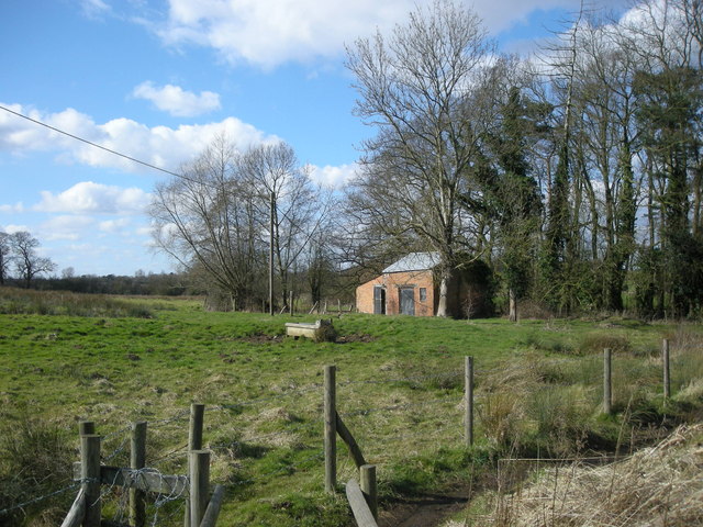
This circular walk explores the countryside and villages to the east of the town. On the way you'll visit neighbouring Misterton and Walcote while enjoying views of the countryside of the River Swift valley.
The walk starts on the eastern side of the town where you can pick up footpaths heading past the motorway towards the Thornborough Spinney woodland area. You then turn south to visit the village of Walcote, crossing the River Swift as you go.
The walk then heads west to Misterton, passing the old Misterton hall where there are gardens and a pretty lake. The route then heads noth west to return to Lutterworth.
To continue oyur walking around Lutterworth head to the western edge of town to visit Lutterworth Country Park. There's some nice footpaths around a small lake here. You can find the park on Brookfield Way with postcode LE17 4FN for your sat navs.
Postcode
LE17 4EZ - Please note: Postcode may be approximate for some rural locationsLutterworth Ordnance Survey Map  - view and print off detailed OS map
Lutterworth Open Street Map  - view and print off detailed map
Lutterworth OS Map  - Mobile GPS OS Map with Location tracking
Lutterworth Open Street Map  - Mobile GPS Map with Location tracking
Walks near Lutterworth
- Leicestershire Round - Explore the countryside, villages, canals, rivers and reservoirs of Leicestershire on this interesting and varied circular walk
- Stanford Reservoir - This pretty reservoir is located on the River Avon near the village of Stanford-on-Avon on the Leicestershire and Northamptonshire border
- Welford - This circular walk around Welford visits the local reservoir before a stroll along the Welford Arm of the Grand Union Canal.
- Draycote Water - Enjoy a circular waterside cycle or walk around the delightful Draycote Water Country Park near Rugby
- Grand Union Canal Walk - Follow the towpath of Britain's longest canal from London to Birmingham on this fabulous waterside walk
- Shakespeare's Avon Way - This terrific waterside walk follows the River Avon from its source near Naseby to its confluence with the Severn at Tewkesbury
- Naseby Battlefield Walk - This circular walk from the village of Naseby takes you around the site of the Battle of Naseby
- Naseby Reservoir - This walk visits Naseby Reservoir in Northamptonshire
- Jurassic Way - This walk follows the Jurassic limestone ridge from Banbury to Stamford passing through Northamptonshire, Oxfordshire and Lincolnshire.
The walk includes a stretch along the Oxford Canal from Banbury and another waterside stretch along the Grand Union Canal near Braunston - Sulby Reservoir - Sulby Reservoir is located near the villages of Welford and Naseby in Northamptonshire
- Ullesthorpe Railway Walk - This circular walk takes you along the trackbed of the old railway line from Ullesthorpe to Leire in southern Leicestershire.
Pubs/Cafes
Back in the town The Elms does a fine carvery which you can enjoy in the garden area. You can find them at St Johns Business Park, LE17 4HB.
You could also head a little to the north west and visit the village of Bitteswell where you'll find the 17th century Olde Royal Oak. They have a lovely large well kept garden which over looks the three village greens. You can find them on Valley Lane, Bitteswell, LE17 4SA.
Dog Walking
The country trails make for a fine dog walk and the Royal Oak mentioned above is also dog friendly.
Further Information and Other Local Ideas
Frank Whittle, inventor of the jet engine, developed some of the world's first jet engines at the British Thomson-Houston works in Lutterworth, and in nearby Rugby, during the late 1930s and the 1940s, with his company Power Jets. There is a memorial garden with a plaque located in the town on Church Street. A replica of his first jet aircraft the Gloster E.28/39 also stands in the middle of a roundabout just south of the town.
If you head a few miles north of the town you can pick up the Leicestershire Round around Dunton Bassett and Leire.
Just to the east there's Stanford Reservoir and the town of Welford where there are two pretty lakes and the River Avon to see.
For more walking ideas in the area see the Leicestershire Walks page.


