Walk Around Maghull - Country and Canal Walk
![]()
![]() This town in Merseyside has some nice walking trails along the local canal and nature reserve.
This town in Merseyside has some nice walking trails along the local canal and nature reserve.
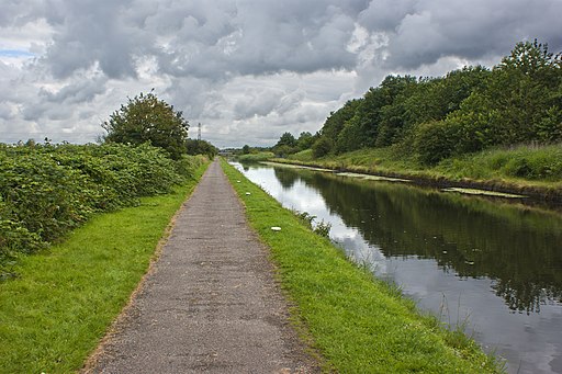
This route from the town uses sections of the Trans Pennine Trail and the Leeds and Liverpool Canal to create a circular walk through the surrounding area. On the way you'll also pass the famous racecourse at Aintree and the delightful Lunt Meadows Nature Reserve which lies just west of the town.
The route starts in Maghull where you can pick up the canal towpath and follow it south towards Melling and Waddicar. You then head west through Aintree, passing the racecourse which hosts the Grand National each year. The route then leaves the canal and heads north through Netherton to Sefton village where you could enjoy a rest at the fine local public house.
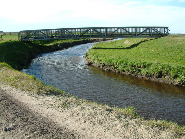
The route then takes you through the Lunt Meadows, a peaceful wetland area where you can look out for a wide variety of birds. Near here you pick up the Trans Pennine Trail and follow it east back to the canal at Maghull.
For more detail on the history and community of the town see the informative wikipedia wikipedia page.
Maghull Ordnance Survey Map  - view and print off detailed OS map
Maghull Open Street Map  - view and print off detailed map
Maghull OS Map  - Mobile GPS OS Map with Location tracking
Maghull Open Street Map  - Mobile GPS Map with Location tracking
Pubs/Cafes
The Running Horses pub is located in a fine spot next to the canal just north of the town centre in Lydiate. They serve good food and have a nice garden area next to the canal. You can find them at 25 Bell Lane, L31 4EN.
Dog Walking
The canal trails make for a fine dog walk. You are asked to please keep them on leads through Lunt Meadows. The Running Horses mentioned above is also dog friendly.
Further Information and Other Local Ideas
Follow the canal north and it will take you towards Omrskirk and Burscough. Mere Sands Wood and the Martin Mere nature reserve can be visited in this area.
To the south there's Croxteth Country Park to explore.
Cycle Routes and Walking Routes Nearby
Photos
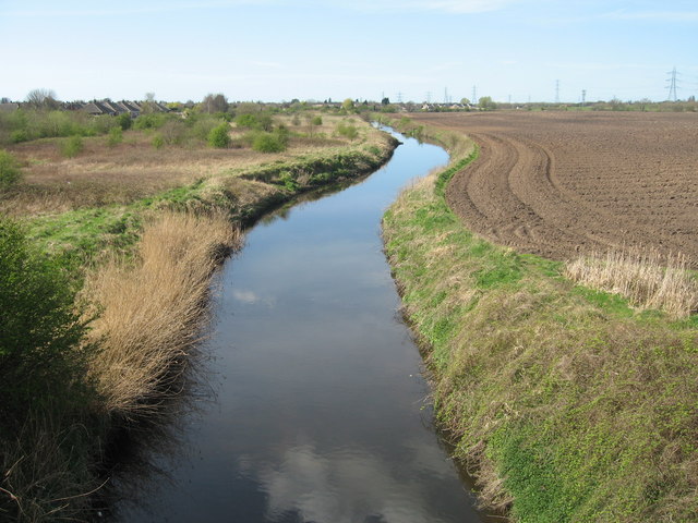
Leeds-Liverpool Canal from Ledson's Bridge, Waddicar. "The Village", the new estate to the right of the photo has recently been built on the site of an old pottery works. The canal at this point was in a very poor state a few years ago when it was still an industrial site.


