Mam Tor Walk from Castleton
![]()
![]() This popular circular walk from Castleton climbs to the famous Mam Tor in the Peak District. The route runs for a distance of about 5 miles with some challenging climbs on the way.
This popular circular walk from Castleton climbs to the famous Mam Tor in the Peak District. The route runs for a distance of about 5 miles with some challenging climbs on the way.
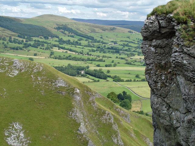
The route starts in Castleton, heading west from the village past Peak Cavern and Speedwell Cavern before coming to Winnats Pass. This area has some stunning limestone scenery and a number of interesting caves.
The walk then bends round to the north to climb to Mam Tor which stands at a height of 517 m (1,696 ft). From the summit there are wonderful views over the Hope Valley and the surrounding hills, including Kinder Scout.
After taking in the views you descend to Hollins Cross. This location is the lowest point on the Mam Tor ridge and is therefore a popular route taken by walkers wishing either to cross from one side to the other. From here you descend past Woodseats to Dunscar Farm before coming back into Castleton. You could also descend south west past Mam Farm to Little Mam Tor. This path runs past the Treak Cliff Cavern and Goosehill before coming into the village.
For a longer route that continues along the ridge to Lose Hill please see the Castleton Circular Walk page.
Mam Tor Walk from Castleton Ordnance Survey Map  - view and print off detailed OS map
Mam Tor Walk from Castleton Open Street Map  - view and print off detailed map
*New* - Walks and Cycle Routes Near Me Map - Waymarked Routes and Mountain Bike Trails>>
Mam Tor Walk from Castleton OS Map  - Mobile GPS OS Map with Location tracking
Mam Tor Walk from Castleton Open Street Map  - Mobile GPS Map with Location tracking
Pubs/Cafes
After your walk head to Ye Olde Nags Head on Cross St in Castleton (Postcode: S33 8WH). Set in a 17th-century former coaching inn, this traditional village pub serves great food and has a good selection of ales. The pub is very walker friendly and has a a great atmosphere.
Further Information and Other Local Ideas
There's lots of great places to visit around Castleton if you have time. A visit to Peveril Castle is certainly worthwhile. The ruined medieval castle in has an amazing history stretching back to the Norman Conquest of 1066.
Also popular are the natural caves tours at Peak Cavern and the fantastic underground boat trip at Speedwell Cavern.


