Mamhead Obelisk Walk
![]()
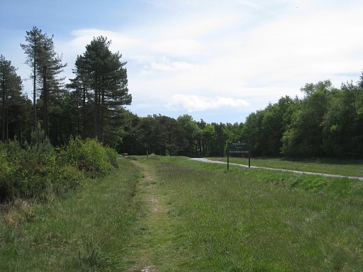
![]() This circular walk follows the Mamhead Sensory Trail in Haldon Forest Park.
This circular walk follows the Mamhead Sensory Trail in Haldon Forest Park.
The popular family trail runs for about 1.5 miles along a well maintained path.
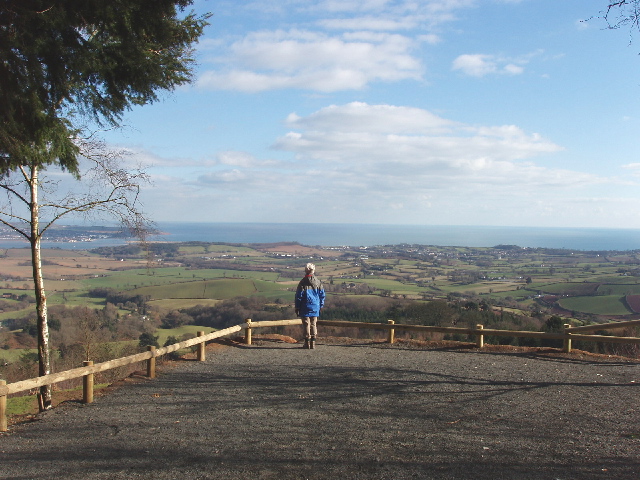
You can start off at the free Mamhead car park where there's also a picnic area. On the walk you'll pass the photogenic Mamhead obelisk and enjoy some great views to Exmouth from the elevated position of the wood.
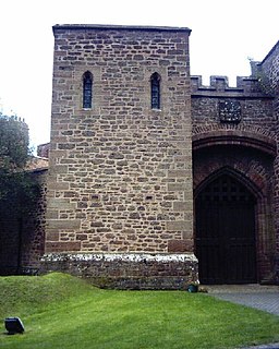
Just to the east of the trail there's also the historic Mamhead House to see. It's Grade I listed and dates back to 1827.
Postcode
EX6 8HG - Please note: Postcode may be approximate for some rural locationsMamhead Sensory Trail Ordnance Survey Map  - view and print off detailed OS map
Mamhead Sensory Trail Open Street Map  - view and print off detailed map
*New* - Walks and Cycle Routes Near Me Map - Waymarked Routes and Mountain Bike Trails>>
Mamhead Sensory Trail OS Map  - Mobile GPS OS Map with Location tracking
Mamhead Sensory Trail Open Street Map  - Mobile GPS Map with Location tracking
Pubs/Cafes
There's often a coffee van in the car park where you can pick up hot drinks and food after your exercise.
Dog Walking
As you'd imagine the woodland paths are great for dog walking. You'll probably see other owners on a fine weekend day.
Further Information and Other Local Ideas
At the northern end of the forest you will find Haldon Belvedere (Lawrence Castle). The site is used as wedding venue but is also open to the public on certain days. The fine looking castle dates from 1788 and is surrounded by some the lovely grounds and gardens. See the Doddiscombsleigh Walk for more details.
Just a few miles to the south west you'll find some more pleasant trails around Ideford Common. There's some attractive woodland, heathland and grassland here with the opportunity to spot Dartford Warblers and nightjars.
Cycle Routes and Walking Routes Nearby
Photos
Mamhead Point, view to the Exe and Dawlish. The viewpoint is by the obelisk in Mamhead Forest Park. Altitude 240 metres. The mouth of the Exe is due east.


