Marsh Farm Country Park
![]()
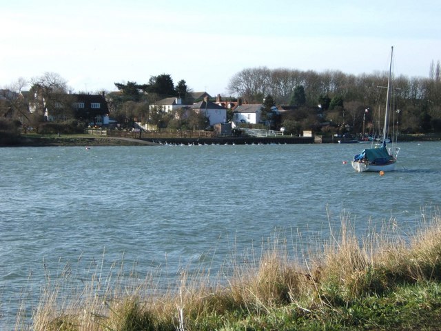
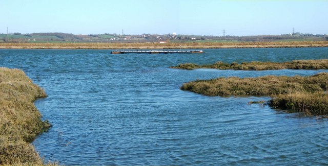
![]() This country park in South Woodham Ferrers has miles of splendid waterside walking trails to enjoy. The River Crouch and the Clementsgreen and Fenn Creeks all run through the park so you can follow well laid out footpaths right along the water. There's 300 acres of grazing marsh to explore with a wide variety of water loving birds to spot. Look out for dark bellied brent geese and many other species of waders and ducks. Sedge warblers, cuckoos and sky larks can also be seen in the area.
This country park in South Woodham Ferrers has miles of splendid waterside walking trails to enjoy. The River Crouch and the Clementsgreen and Fenn Creeks all run through the park so you can follow well laid out footpaths right along the water. There's 300 acres of grazing marsh to explore with a wide variety of water loving birds to spot. Look out for dark bellied brent geese and many other species of waders and ducks. Sedge warblers, cuckoos and sky larks can also be seen in the area.
This route is designed for walkers but cycling is also permitted in the park but please keep to the designated routes.
The park has a large car park and a lovely tea room for refreshments.
Postcode
CM3 5WP - Please note: Postcode may be approximate for some rural locationsMarsh Farm Country Park Ordnance Survey Map  - view and print off detailed OS map
Marsh Farm Country Park Open Street Map  - view and print off detailed map
Marsh Farm Country Park OS Map  - Mobile GPS OS Map with Location tracking
Marsh Farm Country Park Open Street Map  - Mobile GPS Map with Location tracking
Further Information and Other Local Ideas
The South Woodham Ferrers Walk will take you west along the river to the nearby village of Battlesbridge. The village is home to a number of well known antiques shops including the Battlesbridge Antiques Centre housed in the old mill. Continuing west will take you to Wickford where you can visit the Shotgate Thicket Nature Reserve and the pretty Wick Country Park.
For more walking ideas in the area see the Essex Walks page.


