Mudeford Walks
![]()
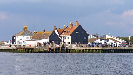
![]() This walk in Dorset explores the area around Mudeford quay and green before catching the ferry over the water to Mudeford Spit.
This walk in Dorset explores the area around Mudeford quay and green before catching the ferry over the water to Mudeford Spit.
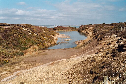
Here you can enjoy a walk along the beach and the dunes where you will pass the attractive little beach huts. The walk then climbs to the viewpoint on Hengistbury Head where you can enjoy some splendid views over Mudeford to the Isle of Wight.
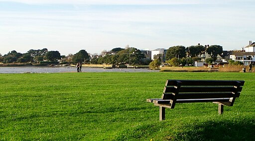
You can start the walk from the good sized car parking area at Mudeford Quay and enjoy a walk around the little park and picnic area with fine views over Christchurch Harbour. There's a nice cafe here for refreshments as well.
To continue your walking in the area head east from the car park to visit Highcliffe Castle where there's some fine architecture and pretty gardens to explore.
Mudeford Ordnance Survey Map  - view and print off detailed OS map
Mudeford Open Street Map  - view and print off detailed map
Mudeford OS Map  - Mobile GPS OS Map with Location tracking
Mudeford Open Street Map  - Mobile GPS Map with Location tracking
Walks near Mudeford
- Christchurch Harbour - This fine circular walk takes you around the beautiful Christchurch Harbour in Dorset
- Hengistbury Head - Follow the miles of walking trails in this stunning nature reserve on the Dorset coast
- Stanpit Marsh - Enjoy lovely coastal views and a variety of wading birds in this nature reserve in Christchurch
- Stour Valley Way - This splendid walk takes you along the River Stour from Hengistbury Head on the Dorset south coast to Stourton in Wiltshire
- Avon Valley Path - This wonderful river valley footpath takes you from Salisbury to Christchurch on the South Coast.
You start by the magnificent cathedral in Salisbury and head south towards Downton - St Catherine's Hill Christchurch - This hill to the north of Christchurch stands at 53-metres (174 ft)
- Highcliffe Castle and Coast - Explore the grounds of this 19th century Gothic Revival house and enjoy a walk along the splendid Highcliffe coast and cliffs
Further Information and Other Local Ideas
Just to the west there's the Stanpit Marsh Nature Reserve where there's lots of wildlife including wading birds and wild horses.
Photos
Mudeford Spit Jetty. The ferry to Mudeford Quay docks here at the jetty which protrudes from the spit into the deeper channel in Christchurch Harbour.
More beach huts on Mudeford Spit. Looking along the 'backs' of some beach huts that look out across Christchurch Bay towards the Isle of Wight (to the right). Note the panels of solar cells mounted on the south-facing roof slopes. The yellow diamond sign warns of a submerged telephone cable.


