Mumbles Circular
![]()
![]() This circular walk takes you around the Mumbles headland on the western edge of Swansea Bay, just south of Swansea. It starts by the bus station and information centre near Oystermouth Castle. It's well worth exploring the ruins of the 12 century Norman Castle before starting the coastal walk. There are lovely views over the bay from the castle grounds.
This circular walk takes you around the Mumbles headland on the western edge of Swansea Bay, just south of Swansea. It starts by the bus station and information centre near Oystermouth Castle. It's well worth exploring the ruins of the 12 century Norman Castle before starting the coastal walk. There are lovely views over the bay from the castle grounds.
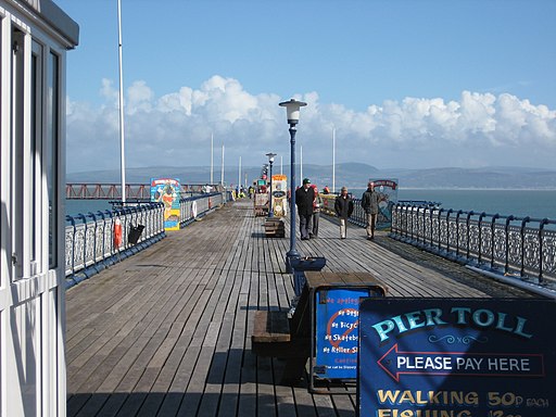
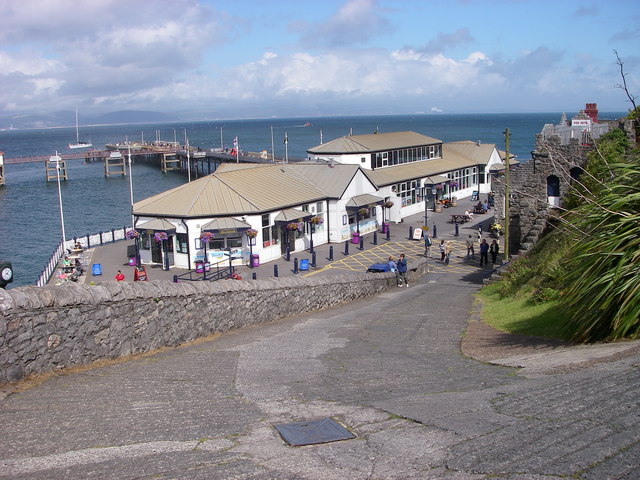
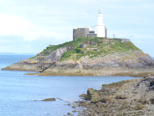
You head along the coast to Mumbles Head where there is a lifeboat station and a nice long pier to stroll out on. From here there are great views out to Mumbles Head and the lighthouse.
You continue along the coast, passing Bracelet Bay and Limeslade Bay before heading to the lovely Langland Bay. There's a nice beach here and great views down the Gower coast.
If you'd like to extend your walk you could continue along the Gower coast on our Mumbles to Langland and Caswell Bay Walk where you'll visit a lovely beach popular with tourists and surgers. Just beyond Caswell Bay there's the delightful Bishopston Valley and the beautiful secluded beach at Pwll Du Bay.
Postcode
SA3 4BA - Please note: Postcode may be approximate for some rural locationsMumbles Circular Ordnance Survey Map  - view and print off detailed OS map
Mumbles Circular Open Street Map  - view and print off detailed map
Mumbles Circular OS Map  - Mobile GPS OS Map with Location tracking
Mumbles Circular Open Street Map  - Mobile GPS Map with Location tracking
Explore the Area with Google Street View 
Pubs/Cafes
There's lots of good options for refreshments after your walk in the Mumbles area. The Pilot is a popular option having been voted Swansea CAMRA Pub of the Year 2018. Located on the seafront you can enjoy fine views over the bay while enjoying your lunch. You can find at 726 Mumbles Road, SA3 4EL.
The Bishopston Valley Hotel is located just to the west of the Mumbles in the lovely Bishopston Valley. The friendly pub welcome walkers, families, and dogs. There's a dedicated restaurant area that seats up to 40 people. with a lite bite menu, grill menu and daily specials. You can relax outside in the nice beer garden during the warmer months too. You can find the hotel at 41 Bishopston Rd, with a postcode of SA3 3EJ for your sat navs.
At the western end of the beach promenade at Langland Bay, is a wonderful brasserie, which opened in the summer of 2007. The glass-fronted restaurant, cafe and bar includes a terrace and serves modern dishes, many with local seafood.
Further Information and Other Local Ideas
The Swansea Bike Path starts at Mumbles Head. The shared cycling and walking route runs along a surfaced path to Swansea, with splendid views of Swansea Bay and its beaches.
Cycle Routes and Walking Routes Nearby
Photos
Mumbles Pier. A view down the one-way private road towards the 'end-of-the-line' Mumbles Pier and associated amusements. Port Talbot is discernible across Swansea Bay.


