Nailsworth Canal Walk
![]()
![]() The Cotswolds town of Nailsworth has some lovely walking trails to try on three large areas of common land located to the north of the town. There's also the National Trust's Woodchester Park and Thames and Severn Canal running through the area.
The Cotswolds town of Nailsworth has some lovely walking trails to try on three large areas of common land located to the north of the town. There's also the National Trust's Woodchester Park and Thames and Severn Canal running through the area.
This walk from the town centre takes you up onto Minchinhampton Common before picking up the Cotswold Canals Walk and following it into Stroud.
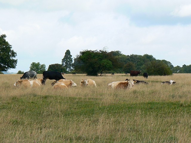
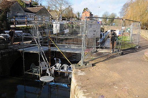
You can reach the common by heading north from the town centre. There's miles of footpaths here with great views over the Cotswolds from the elevated common. You can follow the paths towards the Thames and Severn Canal and then pick up the towpath. Heading south will take you toward the impressive Brimscombe Mill but this route heads north to take you into Stroud.
Rodborough Common is just north of Minchinhampton Common and a great place to extend your walk. The common is also a nature reserve with a wide variety of flora and fauna.
Woodchester Park is also located very close to the town. You can extend your walking here on trails taking you through a tranquil wooded valley to five pretty lakes. Near here you can pick up the Cotswold Way long distance trail and follow it through Selsley Common.
The Stroud Valleys Trail starts in Nailsworth too. The shared cycling and walking trail will take you to Stonehouse along a dismantled railway line.
Nailsworth Ordnance Survey Map  - view and print off detailed OS map
Nailsworth Open Street Map  - view and print off detailed map
*New* - Walks and Cycle Routes Near Me Map - Waymarked Routes and Mountain Bike Trails>>
Nailsworth OS Map  - Mobile GPS OS Map with Location tracking
Nailsworth Open Street Map  - Mobile GPS Map with Location tracking
Walks near Nailsworth
- Rodborough Common - Enjoy splendid views over the Severn Vale from this lovely open space near Stroud
- Haresfield Beacon - Enjoy woodland trails and wonderful views over the Severn Vale and the Cotswolds on this circular walk near Stroud
- Selsley Common - This large open area near Stroud has miles of footpaths and wonderful panoramic views over the Cotswolds
- Cotswold Canals - Follow a series of delightful waterways from Framilode to Lechlade on this waterside walk through Gloucestershire.
The walk starts at Framilode, next to the River Severn and follows the Stroudwater Canal and the River Frome to the market town of Stroud - Woodchester Park - This National Trust owned park in the Cotswolds is the perfect place for a peaceful afternoon stroll.
- Stroud - The market town of Stroud has several long distance walking trails running through it and a number of woods, parks and hill climbs to try
- Cotswold Way - This trail takes you through some of the most beautiful countryside in England
- Stroud Valleys Trail - This route runs from Stonehouse to Nailsworth following a disused railway line


