Nutscale Reservoir
0.9 miles (1.5 km)
![]()
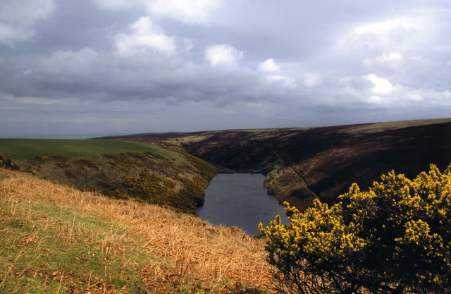
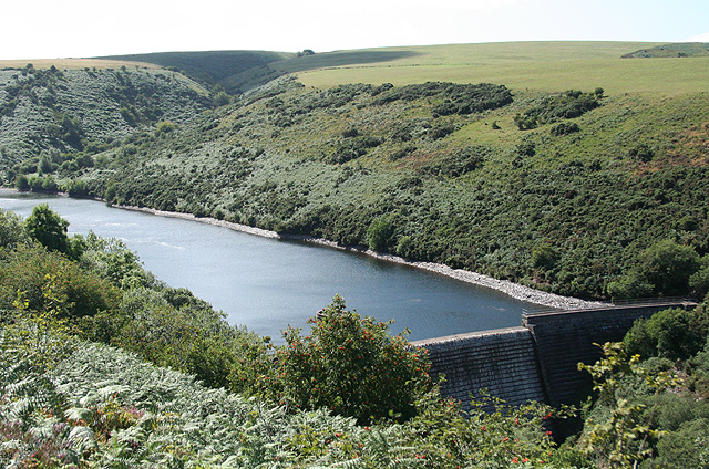
![]() This small reservoir is located on Exmoor near Minehead. The reservoir is in a lovely spot, surrounded by some attractive countryside and hills. There are footpaths and country lanes to follow south from the reservoir to Wilmersham Common.
This small reservoir is located on Exmoor near Minehead. The reservoir is in a lovely spot, surrounded by some attractive countryside and hills. There are footpaths and country lanes to follow south from the reservoir to Wilmersham Common.
The lake is part of the wider Holnicote Estate owned by the National Trust. Just to the east is the Dunkery and Horner Wood Nature Reserve where you can climb to Dunkery Beacon for fine views over the area.
Postcode
TA24 8JU - Please note: Postcode may be approximate for some rural locationsNutscale Reservoir Ordnance Survey Map  - view and print off detailed OS map
Nutscale Reservoir Open Street Map  - view and print off detailed map
Nutscale Reservoir OS Map  - Mobile GPS OS Map with Location tracking
Nutscale Reservoir Open Street Map  - Mobile GPS Map with Location tracking
Further Information and Other Local Ideas
Just to the north you can pick up the lovely coast path on the Minehead to Porlock Walk.
For more walking ideas in the area see the Exmoor Walks page.


