Oulston Reservoir
2.7 miles (4.4 km)
![]()
![]() This walk visits Oulston Reservoir in the Hambleton district of North Yorkshire.
This walk visits Oulston Reservoir in the Hambleton district of North Yorkshire.
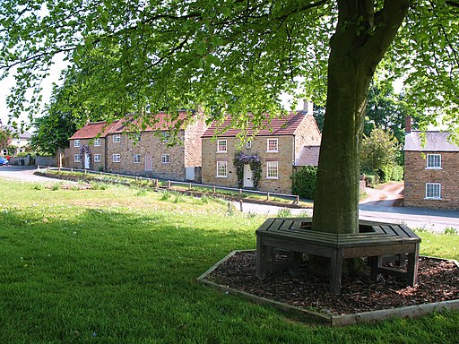
The walk starts from Oulston village, located in the Howardian Hills AONB. From the pretty village you can pick up a section of the Foss Walk and follow it east to the reservoir. It's a very tranquil area with lovely views across the water to the surrounding woodland.
To continue your walk head a short distance north to visit the 12th century Newburgh Priory and Byland Abbey. The historic sites includes atmospheric ruins and some lovely grounds to explore.
Oulston Reservoir Ordnance Survey Map  - view and print off detailed OS map
Oulston Reservoir Open Street Map  - view and print off detailed map
Oulston Reservoir OS Map  - Mobile GPS OS Map with Location tracking
Oulston Reservoir Open Street Map  - Mobile GPS Map with Location tracking
Further Information and Other Local Ideas
The villages of Coxwold and Crayke are very nearby. The worthy settlements are a nice place for a rest and refreshments with a particularly interesting historic pub to visit in Crayke.


