Panorama Walk Llangollen
![]()
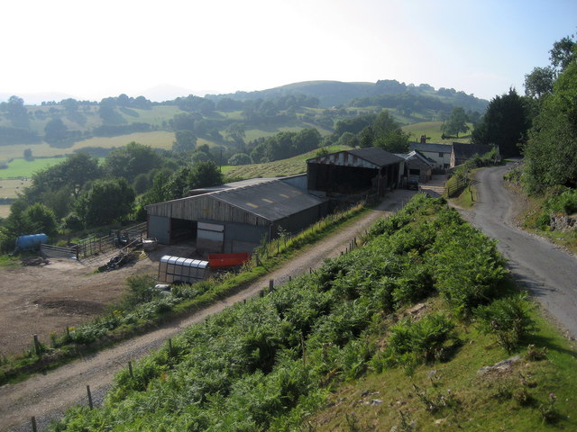
![]() This route takes you along Llangollen's Panorma Walk to World's End in Denbighshire. The walk follows the Offa's Dyke Path for part of the way, with fabulous views from the elevated position of the road.
This route takes you along Llangollen's Panorma Walk to World's End in Denbighshire. The walk follows the Offa's Dyke Path for part of the way, with fabulous views from the elevated position of the road.
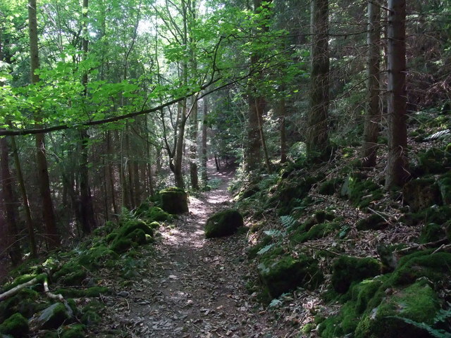
The walk starts from the famous Pontcysyllte Aqueduct, the longest and highest aqueduct in Britain. You can park near the impressive structure and pick up the waymarked trail, heading west to Trevor Hall Wood. The woodland trails will bring you out onto the Panorama Walk country lane which climbs past the town toward World's End. The narrow vale is located between Wrexham and Llangollen at the head of the Eglwyseg Valley. The striking gorge is a great place for a walk with pretty streams, little waterfalls and attractive woodland. It's an atmospheric location with the area enclosed by the cliffs of Craig y Forwyn, Craig y Cythraul, and Craig yr Adar. After exploring the delightful area you return to the viaduct on the same paths.
To continue your walking in this beautiful area you try the longer Llangollen Round or enjoy easy waterside walking along the Llangollen Canal. The Pontcysyllte Aqueduct Walk will take you over the River Dee with great views over the area.
You can also take a short detour from this route to visit the historic Castell Dinas Bran.


