Pitsford Reservoir Walk
![]()
![]() This circular walk takes you around the lovely Pitsford Reservoir in Brixworth Northamptonshire. The waterside trail runs for just over 6 miles on a nice flat, surfaced path. It will probably take around 3-4 hours to complete the circuit.
This circular walk takes you around the lovely Pitsford Reservoir in Brixworth Northamptonshire. The waterside trail runs for just over 6 miles on a nice flat, surfaced path. It will probably take around 3-4 hours to complete the circuit.
Start the walk from the car park and visitor centre at Brixworth Country Park on the western side of the water. Then head east to the village of Holcot where you cross the water on the causeway. Other paths will then take you along the northern edge of the water to the car park.
The area is designated as a nature reserve so you can look out for a variety of wildlife on the way. Keep your eyes peeled for Northern Shoveler, Little egrets, Great crested grebes and Goldeneye as you make your way through this lovely area.
The site is located close to both Northampton and Wellingborough.
Postcode
NN6 9DG - Please note: Postcode may be approximate for some rural locationsPlease click here for more information
Pitsford Reservoir Ordnance Survey Map  - view and print off detailed OS map
Pitsford Reservoir Open Street Map  - view and print off detailed map
Pitsford Reservoir OS Map  - Mobile GPS OS Map with Location tracking
Pitsford Reservoir Open Street Map  - Mobile GPS Map with Location tracking
Pubs/Cafes
Brixworth Park has a nice on site cafe for post walk refreshments. It serves a good range of snacks and sandwiches and has some tables outside for finer days.
If you fancy a pit stop on the route then head into Holcot and visit the historic White Swan. It's a friendly pub with a good menu and a nice outdoor seating area to relax in. The pub dates to the 18th century and was formerly a butchers shop and pub combined. The old thatched inn is located on the Main Street in the village at postcode NN6 9SP.
Dog Walking
The park is an excellent place for a dog walk and you will likely see several other owners with their pets. The path is well surfaced so it will prevent your dog from getting muddy even on wetter days. It's advised to keep them on leads though as there are cyclists and wildlife to consider. The nearby Harlestone Firs Forest is another popular area for dog walkers.
The White Swan mentioned above is also dog friendly.
Further Information and Other Local Ideas
The Brampton Valley Way runs just to the west of the reservoir. This shared cycling and walking trail is a great way to continue your exercise. It runs from Northampton to Market Harborough along the trackbed of a disused railway line and is well signed throughout. Near the start of the trail you'll find the Harlestone Firs Forest Walk. This popular woodland area contains miles of peaceful trails on Lord Spencer's Althorp Estate. Near the woods you can also visit Althorp House, the childhood home of Princess Diana. Here you can learn about 500 years of history and explore the beautiful grounds and gardens. The woods and house are located just a few miles south west of the reservoir and well worth a visit.
The Midshires Way can also be picked up near here at Chapel Brampton.
For a shorter walk off the beaten track head a few miles west to the peaceful Ravensthorpe Reservoir. The lake at Sywell Country Park is also close by.
The Northamptonshire Round long distance circular walk starts next to the lake from the Brixworth visitor centre.
For more walking ideas in the area see the Northamptonshire Walks page.
Cycle Routes and Walking Routes Nearby
Photos
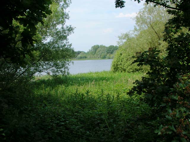
Pitsford Water Nature Reserve. Looking west across the Scaldwell arm of the reservoir from a track around the perimeter. Access to this part of the reservoir is by permit only, obtainable from the Fishing Lodge at the Holcot end of the causeway.
Dam at the end of Pitsford Water. Taken from the South East end. The reservoir spillway is in the foreground.
The White Swan, Holcot. The small village is located east of the water and includes this fine old pub.


