Riding Mill Walk
![]()
![]() This walk from the Northumberland village of Riding Mill takes you along a pleasant section of the River Tyne to Dilston via Corbridge. The historic riverside village is a nice place for a stroll with a packhorse bridge and local pub dating from the 17th century.
This walk from the Northumberland village of Riding Mill takes you along a pleasant section of the River Tyne to Dilston via Corbridge. The historic riverside village is a nice place for a stroll with a packhorse bridge and local pub dating from the 17th century.
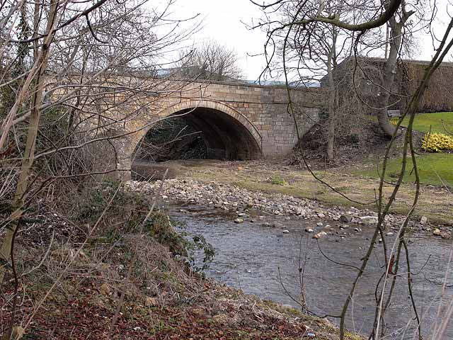
The walk starts from the train station which is located very close to the river. Follow the river trail north and it will take you past Styford Park to Farnley Haugh Gravel Pits. The route continues to Corbridge where you can cross the bridge to explore the town on the opposite side. Here you will find an impressive Roman Fort and a museum detailing the interesting history of the town.
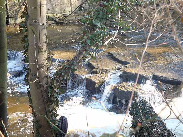
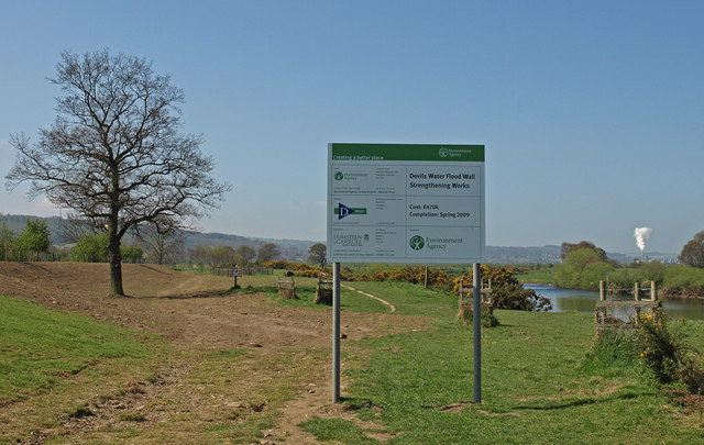
The route then crosses back over to continue to Dilston where you can explore the point where the river meets with Devil's Water. In this scenic area there are a number of waterfalls, an old chapel and Dilston Castle to see.
To extend the walk you could continue west to visit nearby Hexham. See the Hexham to Corbridge Walk for more details.
Postcode
NE44 6EP - Please note: Postcode may be approximate for some rural locationsPlease click here for more information
Riding Mill Ordnance Survey Map  - view and print off detailed OS map
Riding Mill Open Street Map  - view and print off detailed map
Riding Mill OS Map  - Mobile GPS OS Map with Location tracking
Riding Mill Open Street Map  - Mobile GPS Map with Location tracking
Pubs/Cafes
The Wellington Hotel dates back to 1660 and serves good quality dishes. You can find them near the train station on the Main Road at postcode NE44 6DQ for your sat navs.
Further Information and Other Local Ideas
Just a few miles to the north east you can pick up the epic Hadrian's Wall Path and explore the pictiresque Whittle Dene Reservoir on the wall.
Cycle Routes and Walking Routes Nearby
Photos
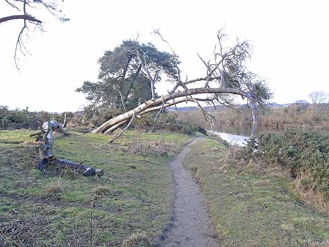
On the banks of the Tyne. A nearly-fallen tree hangs over the riverside path on the south bank of the Tyne opposite Corbridge.


