Salford Trail Circular Walk
![]()
![]() This circular walk explores the city of Salford on a long distance waymarked trail.
This circular walk explores the city of Salford on a long distance waymarked trail.
On the way the route visits a number of the highlights of the area including Blackleach Country Park, Clifton Country Park, Prestwich Forest Park, the Bridgewater Canal, the River Irwell Sculpture Trail and the Manchester Ship Canal.
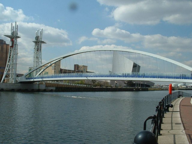
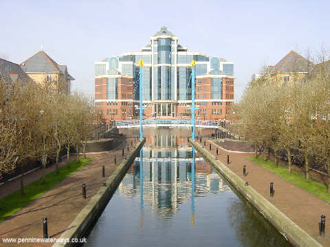
The walk starts at the popular Salford Quays where you'll find nice walking trails along the water. There's also the Lowry Theatre, The Imperial War Museum, a shopping centre and cinema complex here. From here the trail heads west past the Manchester Docks towards Eccles. You turn north through Patricfroft, following a shared cycling and walking trail towards the Old Warke Dam at Worsley. Here you pick up the Bridgwater Canal and west before turning north to Ellenbrook and Farnworth.
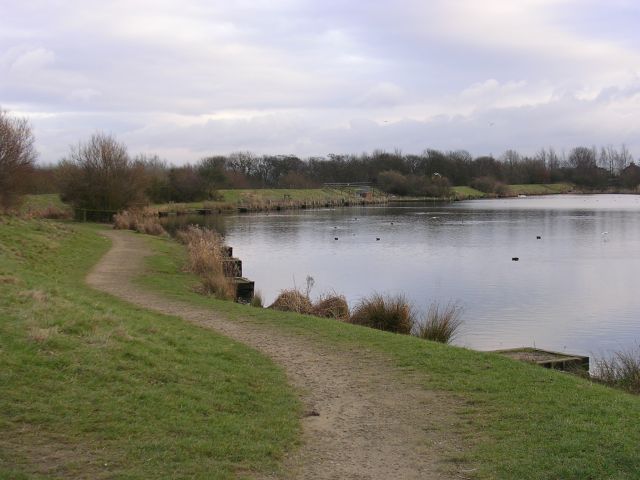
You continue south east to Walkden where you'll enter the Blackleach Country Park where there's a pretty reservoir. A dismantled railway then takes you towards Roe Green and Egerton Park. You continue north towards Clifton where you'll find Clifton Country Park with its pretty lake and riverside walks along the Irwell. Follow the river east and it will take you into Prestwich Forest Park where there are some popular cycling and walking trails to try.
Here you pick up the Irwell Sculpture Trail and follow the river trail towards Lower Kersal and Manchester city centre. A stretch along the Manchester Ship Canal takes you through Ordsall before returning to Salford Quays.
Salford Trail Ordnance Survey Map  - view and print off detailed OS map
Salford Trail Open Street Map  - view and print off detailed map
*New* - Walks and Cycle Routes Near Me Map - Waymarked Routes and Mountain Bike Trails>>
Salford Trail OS Map  - Mobile GPS OS Map with Location tracking
Salford Trail Open Street Map  - Mobile GPS Map with Location tracking
Walks near Salford
- Blackleach Country Park - This country park in Walkden has nice footpaths to follow around the lake and through woodland
- Clifton Country Park - This country park and nature reserve is located between Bolton and Manchester in Salford
- Prestwich Forest Park - Enjoy a peaceful walk or cycle in this pretty country park in Bury
- Irwell Sculpture Trail - Follow the River Irwell on this splendid waterside walk through Greater Manchester and enjoy over 70 artworks by renowned artists
- Bollin Valley Way - Follow the River Bollin from Macclesfield to Partington on this delightful waterside walk through Greater Manchester and Cheshire.
The walk starts at the Macclesfield Riverside Park and follows the river through Prestbury, Wilmslow, Hale and Bowdon to Partington on the Manchester Ship Canal.
On the route you will pass the 18th century Grade II listed Mottram Hall and National Trust owned Dunham Massey - Worsley Woods - This circular walk around Worsley uses a series of public footpaths to explore these pretty woods in Salford
- Worsley Canal Walk - A walk along the Bridgewater Canal from Worsley to Leigh, where you can finish the walk with a visit to Pennington Flash Country Park
- Manchester Ship Canal - This walk takes you along a section of the iconic Manchester Ship Canal around Partington in Greater Manchester.
- Bridgewater Way - A walk along the Bridgewater canal, through Cheshire, Greater Manchester and on into Lancashire
Further Information and Other Local Ideas
At the western end of the Ship Canal you can pick up the Bollin Valley Way and enjoy a waterside walk along the River Bollin.
For more walking ideas in the area see the Greater Manchester Walks page.
Photos
Blackleach Country Park. An urban country park centred on former industrial reservoirs to the north of Walkden.
Clifton Viaduct, East Lancashire Railway. This railway was opened in 1846, being a line from Manchester to Bury, Accrigton and Rawtenstall. It crossed both the Irwell and the Manchester Bolton and Bury Canal by this viaduct. The line was closed in 1970 and the track has now been lifted.


