Sonning Common Walks
![]()
![]() This walk takes you around the countryside, parkland and woodland surrounding the village of Sonning Common in Oxfordshire. The village is a popular place for walkers wishing to explore a quiet area of the Chilterns. It is the home of the Sonning Common Health Walks set up in 1996 by Dr William Bird. The walks aim to reduce heart disease, reduce cholesterol and blood pressure, relieve depression and anxiety, reduce stress, tackle obesity, and help with diabetes.
This walk takes you around the countryside, parkland and woodland surrounding the village of Sonning Common in Oxfordshire. The village is a popular place for walkers wishing to explore a quiet area of the Chilterns. It is the home of the Sonning Common Health Walks set up in 1996 by Dr William Bird. The walks aim to reduce heart disease, reduce cholesterol and blood pressure, relieve depression and anxiety, reduce stress, tackle obesity, and help with diabetes.
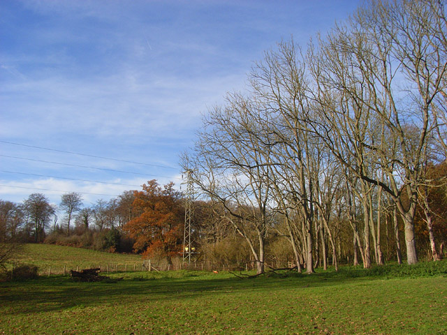
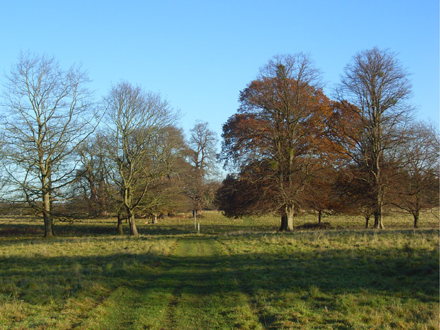
The circular route uses a section of the Chiltern Way long distance trail and other public footpaths to explore the area. It runs for just under 6 miles on reasonably flat paths with some small climbs on the way. Walk highlights include some lovely views of the Chiltern Hills, peaceful woodland trails and the interesting BBC owned Crowsley Park.
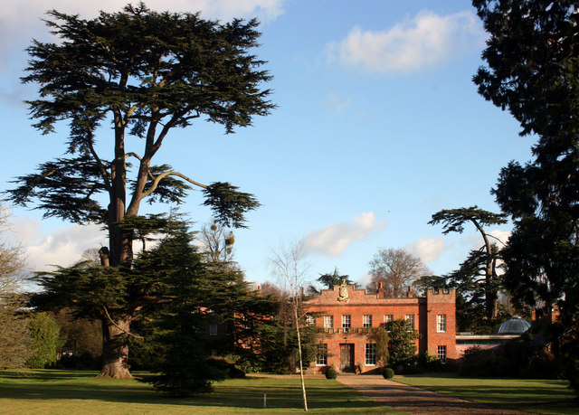
The walk starts just to the south of the village at the Millenium Green and Bird in Hand Pub where you can pick up the Chiltern Way. Follow it north east and it will take you to Crowsley Park. The country estate is owned by the BBC and though it is not open to the public there are public footpaths crossing the park with views towards the 18th century mansion. Among Crowsley Park's former owners were the Baskerville family who provided the inspiration for Conan Doyle's The Hound of the Baskervilles. Since the Second World War, Crowsley Park has been the site of a signals-receiving station used by BBC Monitoring. In 2018, the BBC began a further modernisation of the facility, including the installation of 18 new satellite dishes.
The route then turns north along Kings Farm Lane, taking you around a section of Crowsley Park Woods, to the east of Rotherfield Peppard. The route then turns south to follow country lanes back to the Chiltern Way. This will then lead you back to the start point where you can enjoy refreshments at the Bird in Hand pub.
To continue your walking in the area, head east to the River Thames where you can visit the pretty riverside village of Sonning on our Reading to Henley Walk and the Sonning to Shiplake Walk.
Postcode
RG4 9NP - Please note: Postcode may be approximate for some rural locationsSonning Common Ordnance Survey Map  - view and print off detailed OS map
Sonning Common Open Street Map  - view and print off detailed map
Sonning Common OS Map  - Mobile GPS OS Map with Location tracking
Sonning Common Open Street Map  - Mobile GPS Map with Location tracking
Walks near Sonning Common
- Reading to Henley - Enjoy an easy riverside walk along the Thames Path on this walk from Reading to Henley-on-Thames via Sonning
- Binfield Heath and Crowsley Park - This circular walk from Binfield Heath visits Crowsley Park, owned by the BBC in South Oxfordshire
- Sonning - This Berkshire based village is in one of the most picturesque spots on the River Thames
- Rotherfield Peppard Common - This area of common land is located near the village of Rotherfield Peppard in the Chilterns area of Oxfordshire.
- Greys Court - This walk explores the area around the National Trust's Greys Court in Henley-on-Thames, Oxfordshire.
- Henley-on-Thames - The popular market town of Henley-on-Thames has a number of excellent waymarked trails to try
- Henley via Stonor Circular Walk - A circular walk from Henley visiting Stonor, Middle Assendon and the National Trust's Greys Court
- Nettlebed - This Oxfordshire village is surrounded by several large areas of woodland and some lovely Chilterns countryside
- Warburg Nature Reserve - This delightful nature reserve near Henley-on-Thames has some lovely woodland trails to try
- Oxfordshire Way - Take a trip through Oxfordshire and enjoy rivers, canals, pretty villages and beautiful countryside on this lovely trail
- Turville - This circular walk explores the countryside surrounding the Chilterns village of Turville
- Fingest - This pretty little Buckinghamshire village is located in the Chilterns near Henley on Thames
- Ibstone - This Buckinghamshire based village is located in a pleasant rural spot in the Chiltern Hills, on the border with Oxfordshire
- Stoke Row - This walk takes you around the pretty Oxfordshire village of Stoke Row
Further Information and Other Local Ideas
In the adjacent village you can explore Rotherfield Peppard Common where there's pleasant trails, meadows and heather with views of the local cricket field.


