Sonning to Shiplake River Walk
![]()
![]() This Berkshire based village is in one of the most picturesque spots on the River Thames. In the area there's a pretty lock and weir with the little hamlet of Sonning Eye on the opposite side of the river. The village also includes a historic waterside mill where you can enjoy refreshment after your exercise.
This Berkshire based village is in one of the most picturesque spots on the River Thames. In the area there's a pretty lock and weir with the little hamlet of Sonning Eye on the opposite side of the river. The village also includes a historic waterside mill where you can enjoy refreshment after your exercise.
This walk from the village takes you along a pleasant section of the Thames Path to the neighbouring village of Shiplake. It's an easy stroll running for a distance of just over 3 miles along the flat path.
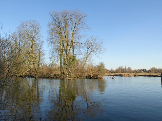
The walk starts in the village where you can pick up the National Trail and follow it east along the river to Shiplake and Lower Shiplake. On the way you'll pass Hallsmead Ait, Phillimore's Island and some rushing weirs.
Postcode
RG4 6TY - Please note: Postcode may be approximate for some rural locationsSonning Ordnance Survey Map  - view and print off detailed OS map
Sonning Open Street Map  - view and print off detailed map
Sonning OS Map  - Mobile GPS OS Map with Location tracking
Sonning Open Street Map  - Mobile GPS Map with Location tracking
Pubs/Cafes
The Mill at Sonning is a great place to relax after your walk. This lovely Dinner Theatre and bar is set in a converted 18th century flour mill on the banks of the river. The acclaimed site is notable as as the only dinner theatre in the United Kingdom. It includes a restaurant and bar area with a spinning waterwheel. Here you can enjoy Artisan Coffee, Homemade Cakes, a range of Sandwiches and delicious Hot Bar Food. You can find them at postcode RG4 6TY for your sat navs.
Cycle Routes and Walking Routes Nearby
Photos
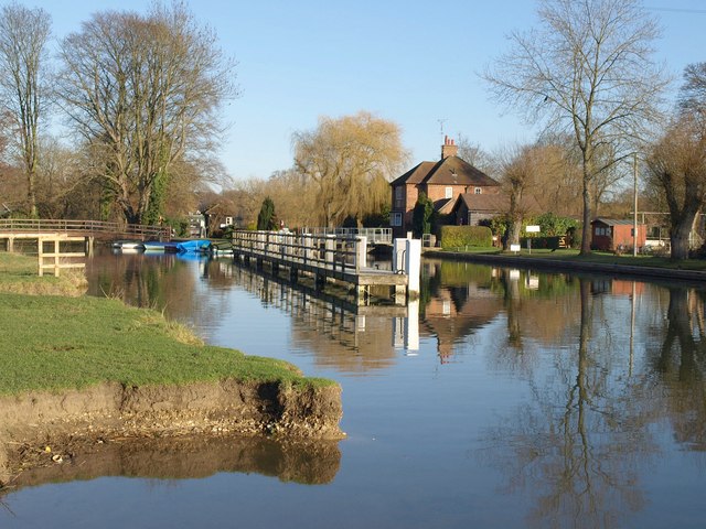
At the confluence of the backwater and the main channel of the River Thames at Sonning, England. This is at the downstream end of the mill stream, with the navigation bridge off to the left. The mill is well beyond the bridge that can be seen here, which is a pedestrian bridge giving access to the north bank Oxfordshire of the river which has become the towpath side (if heading downstream).


