Staffordshire Moorlands Walks Route Map
![]()
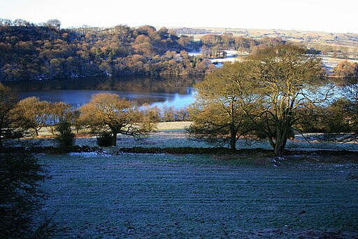
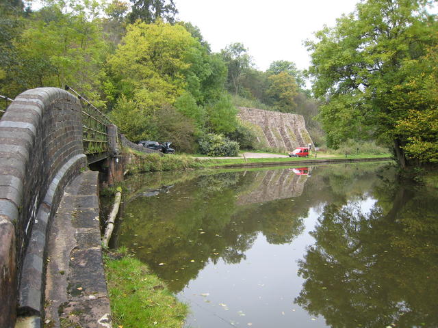
![]() This walk starts in Leek and uses sections of the waymarked Staffordshire Moorlands Walks trail to visit some of the highlights of the area including Tittesworth Reservoir, Rudyard Lake, Ladderedge Country Park, Deep Hayes Country Park, the Churnet Valley, Consall Nature Park, Coombes Valley RSPB Nature Reserve and the Caldon Canal.
This walk starts in Leek and uses sections of the waymarked Staffordshire Moorlands Walks trail to visit some of the highlights of the area including Tittesworth Reservoir, Rudyard Lake, Ladderedge Country Park, Deep Hayes Country Park, the Churnet Valley, Consall Nature Park, Coombes Valley RSPB Nature Reserve and the Caldon Canal.
There's lots of long waterside sections, hill climbs, wildlife rich nature parks and lovely Staffordshire countryside to see on the walk. This route covers a large part of the northern section of the route but you can see more of the trail marked on the Ordnance Survey map below as it makes its way south towards Alton. At the northern end of the route you can take a small detour to climb to two of the highlights of the area at The Roaches and Hen Cloud. There's some wonderful rock formations and far reaching views in this area.
Staffordshire Moorlands Walks Ordnance Survey Map  - view and print off detailed OS map
Staffordshire Moorlands Walks Open Street Map  - view and print off detailed map
*New* - Walks and Cycle Routes Near Me Map - Waymarked Routes and Mountain Bike Trails>>
Staffordshire Moorlands Walks OS Map  - Mobile GPS OS Map with Location tracking
Staffordshire Moorlands Walks Open Street Map  - Mobile GPS Map with Location tracking
Pubs/Cafes
On the route you'll pass close to the village of Blackshaw Moor and The Three Horseshoes. The high quality inn includes beautiful gardens, a patio, and stunning views over the Roaches and surrounding countryside. The pub was named by CAMRA in 2019 as having one of the top ten beer gardens in the UK. The interior is charming too with oak beams and open fires for colder days. You can find them on the Buxton Road at postcode ST13 8TW for your sat navs.


