Talla Reservoir and Waterfall
![]()
![]() This walk visits Talla Reservoir and waterfall in the Scottish Borders near Biggar.
This walk visits Talla Reservoir and waterfall in the Scottish Borders near Biggar.
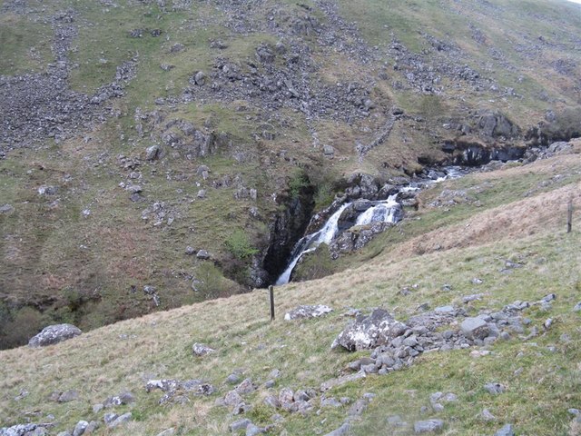
The walk starts from the roadside parking just east of the falls and the lake. Head west along the lane from here and you cross the bridge over Talla Water before coming to the waterfall.
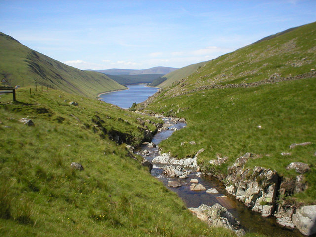
Continue along the lane and Talla Water and you will soon come to the lake. On the eastern side of the reservoir there's a nice flat country lane suitable for walkers and cyclists. It runs right along the lake with nice views across the waters to the hills rising up on the opposite side.
It's easy to continue your waterside walking in the area by heading east to visit St Mary's Loch and Megget Reservoir. Camps Reservoir and Fruid Reservoir lie just to the west.
For more information on the construction and history of the site see the informative wikipedia page.
Postcode
ML12 6QR - Please note: Postcode may be approximate for some rural locationsTalla Reservoir Ordnance Survey Map  - view and print off detailed OS map
Talla Reservoir Open Street Map  - view and print off detailed map
Talla Reservoir OS Map  - Mobile GPS OS Map with Location tracking
Talla Reservoir Open Street Map  - Mobile GPS Map with Location tracking
Further Information and Other Local Ideas
Head south and you could visit the town of Moffat where you can enjoy a riverside walk along the River Annan on the Annadale Way. You can also pick up the epic Romans and Reivers Route in this area.
Cycle Routes and Walking Routes Nearby
Photos
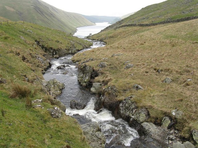
Bridge over Talla Water. Passing under the bridge Talla Water forms several small waterfalls before flowing into Talla Reservoir at the bottom of the valley.
The Talla Water. It does not run smoothly into the reservoir, as might seem from this picture. There is a drop of about 100m, and a distance of about 0.75km, from just above the middle of the picture.


